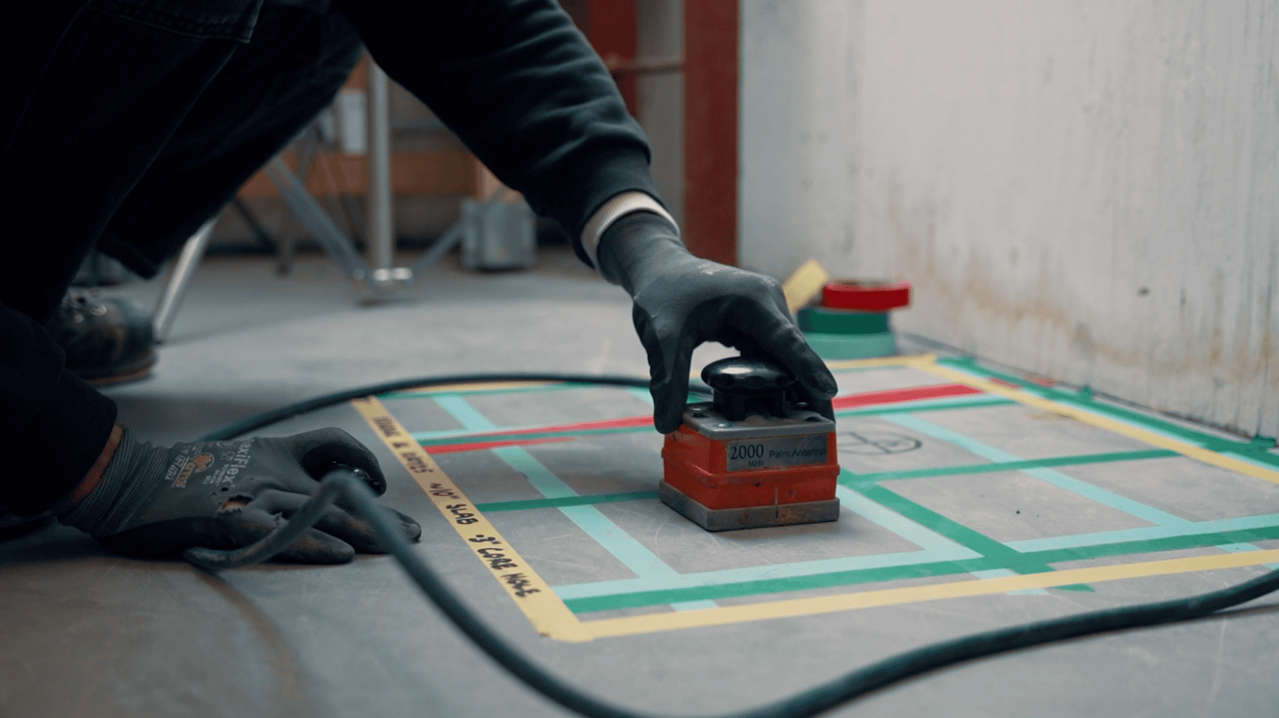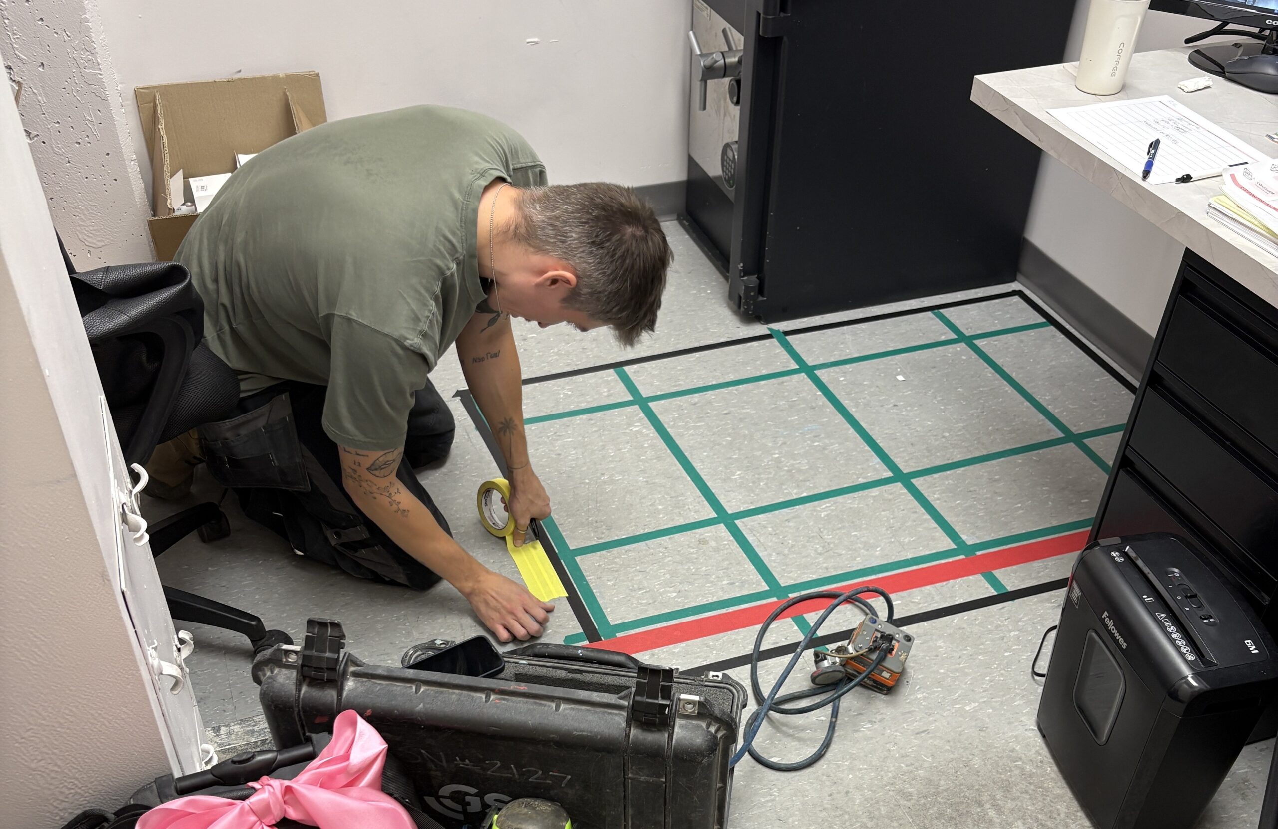

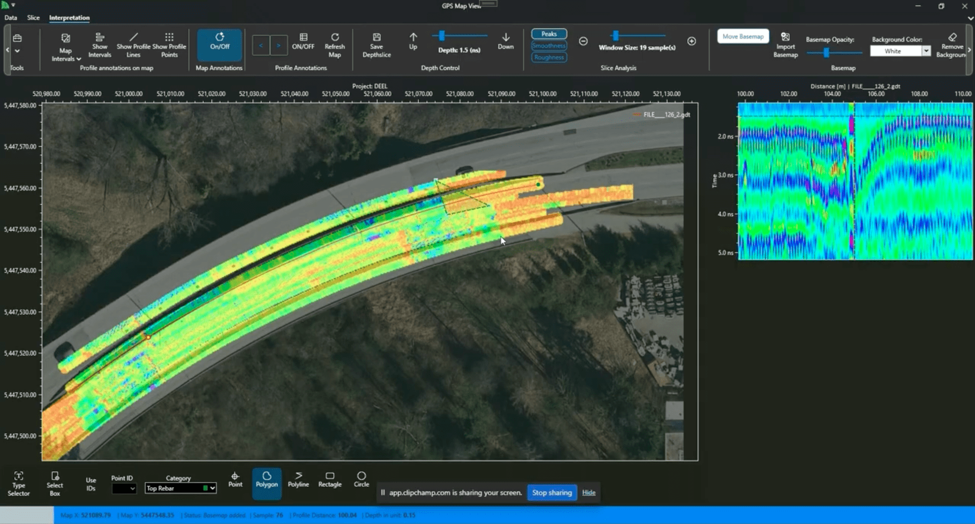
Ground Penetrating Radar (GPR) is a non-destructive geophysical method that employs high-frequency electromagnetic waves to image subsurface structures. This technology is widely used across various fields, including construction, archaeology, and environmental studies, to detect and map areas without the need for invasive procedures.
Applications of Ground Penetrating Radar
-
Subsurface Imaging: GPR effectively identifies and maps subsurface features such as soil layers, rock formations, voids, and buried objects like pipes and cables. This capability is crucial in construction and engineering projects to avoid damaging existing utilities.
-
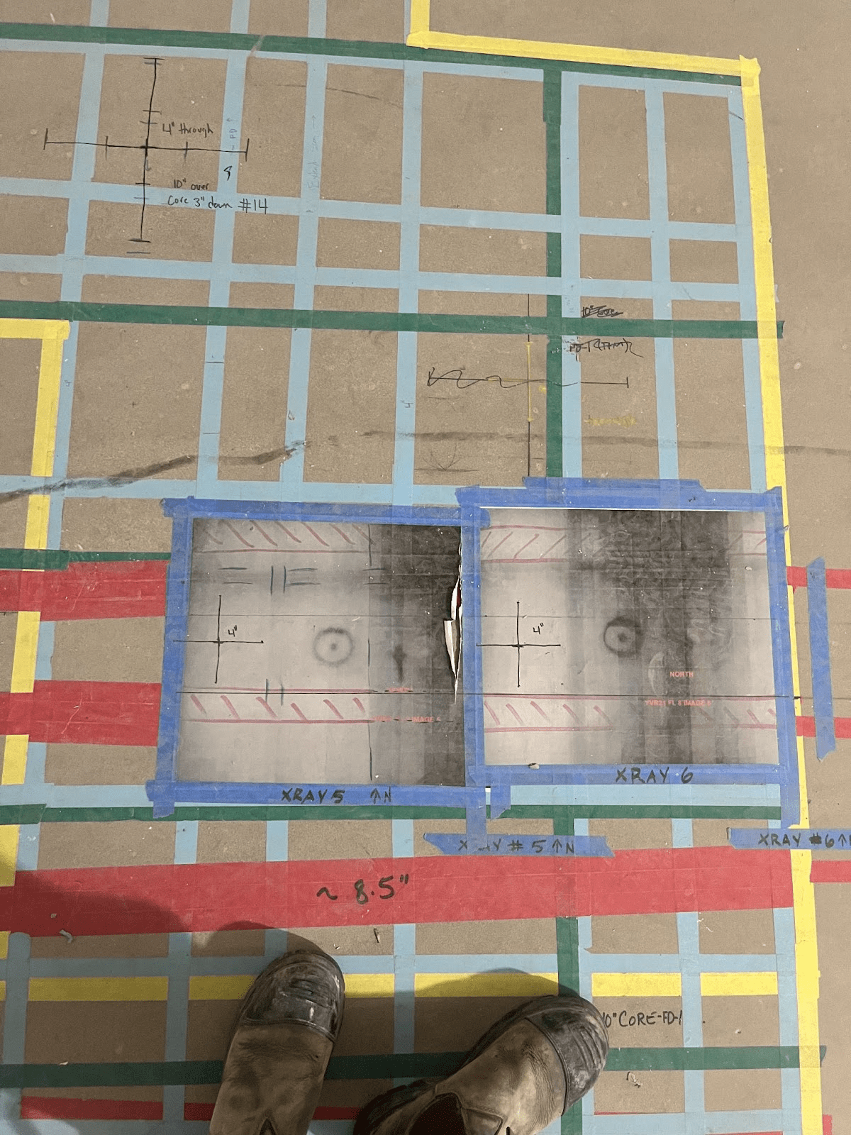
Concrete Inspection: In the realm of concrete scanning, GPR is utilized to detect embedded objects such as rebar, post-tensioned cables, electrical conduits, voids within or below concrete, the corrosion of rebar, and more. This ensures safety and precision in activities like drilling, cutting, or coring concrete structures.
-
Archaeological Exploration: Archaeologists employ GPR to locate and map artifacts, burial sites, and ancient structures without excavation, preserving the site’s integrity while gaining valuable information.
-
Environmental Assessment: GPR assists in environmental studies by detecting underground storage tanks, bedrock profiling, assessing landfills, and mapping groundwater tables, aiding in contamination studies and remediation efforts.
Limitations of Ground Penetrating Radar
While GPR is a versatile tool, certain factors can limit its effectiveness and place added importance on deep understanding of the technology:
- Soil Composition: High-conductivity materials, such as clay-rich soils or areas with high moisture content (or shallow water table), can attenuate GPR signals, reducing penetration depth and data quality.
- Signal Scattering: Heterogeneous subsurface conditions, like rocky or uneven terrains, can cause signal scattering, complicating data interpretation and reducing resolution. The same signal scattering can be said for concrete with metallic fibres present, which causes excessive ‘noise’ in the GPR signal.
- Depth Penetration: The depth of GPR penetration is influenced by the frequency of the antenna used; higher frequencies provide better resolution but shallower penetration, while lower frequencies penetrate deeper but with less detail.
-
Data Interpretation: Accurate interpretation of GPR data requires expertise. Novices may find radargrams non-intuitive, and misinterpretation can lead to incorrect conclusions about subsurface features.
Advancements in GPR: Xradar Concrete Scanning
To address some of these limitations, advancements in methodology like those delivered by Xradar have emerged. Xradar’s approach to GPR scanning enhances the accuracy and range of the technology, reducing scanning errors to less than 0.03%, compared to the typical 25% in the industry.
Xradar technicians can “see” through wire mesh and distinguish between various embedded objects, including electrical conduits, radiant heating lines, post-tensioned cables, and steel reinforcement. This level of precision is particularly beneficial in complex concrete slabs, offering the accuracy of X-ray with the safety and efficiency of GPR.
Conclusion
Ground Penetrating Radar is a powerful tool for non-invasive subsurface exploration, offering significant benefits in various applications.
However, understanding its limitations is crucial for accurate data interpretation and effective application. Advancements in training like those spearheaded by Xradar are pushing the boundaries of GPR capabilities, providing more accurate and reliable subsurface imaging solutions. The impact of this on the safety of construction sites across the globe shouldn’t be underestimated..