

Resources to Help Make Informed Decisions
Overview
At Xradar, we believe better decisions start with better information. Our resources bring together technical insights, practical guidance, and research that support the way engineers, contractors, and building owners work. Explore our methods, example reports, FAQs, industry discussions and more, to see how we’re shaping the standard for concrete imaging and non-destructive testing.
Blog
Thought leadership from the specialists
Industry insights, project discussions, and technical learnings from our team across Canada.
-
Blog
The Importance of Hiring a Concrete Scanning Service
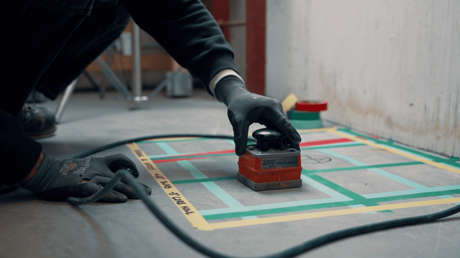
Concrete scanning technology has transformed the way contractors, engineers, and building owners understand what lies inside concrete structures. Whether you’re coring, cutting, drilling, renovating, or conducting structural investigations, Ground Penetrating Radar (GPR) scanning has become the preferred method for identifying embedded objects before work begins.
-
Blog
Introducing GRAD: Unlocking the Full Value of GPR Data
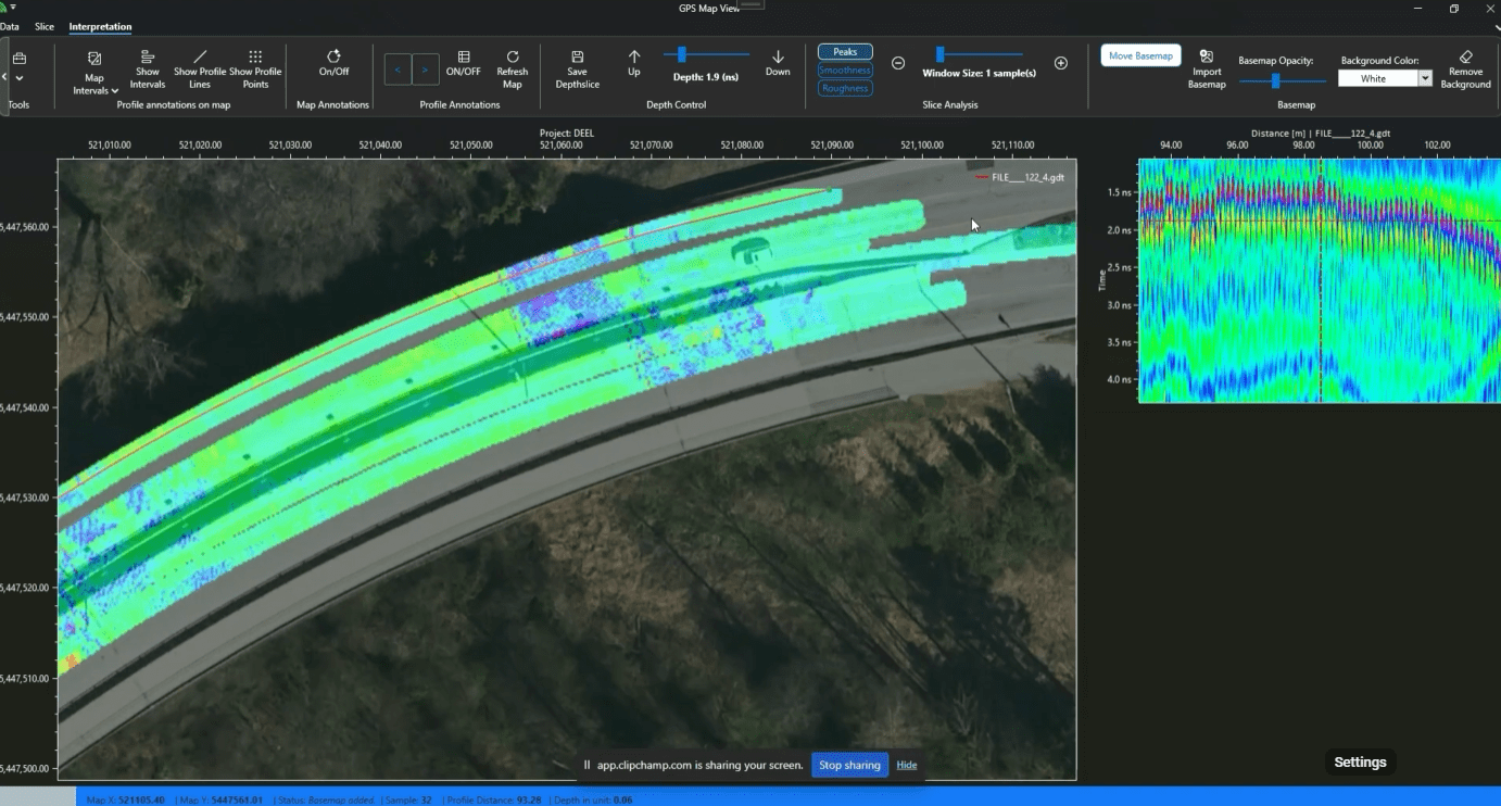
Ground Penetrating Radar technology has transformed the way we investigate concrete and subsurface conditions. Modern GPR systems can collect enormous amounts of high-resolution data, providing valuable insights into structural elements, embedded objects, and hidden conditions. However, the true value of that data depends on how effectively it can be processed, interpreted, and communicated.
-
Blog
Streamlining Slab-on-Grade Projects: Why Integrate Scanning & Cutting
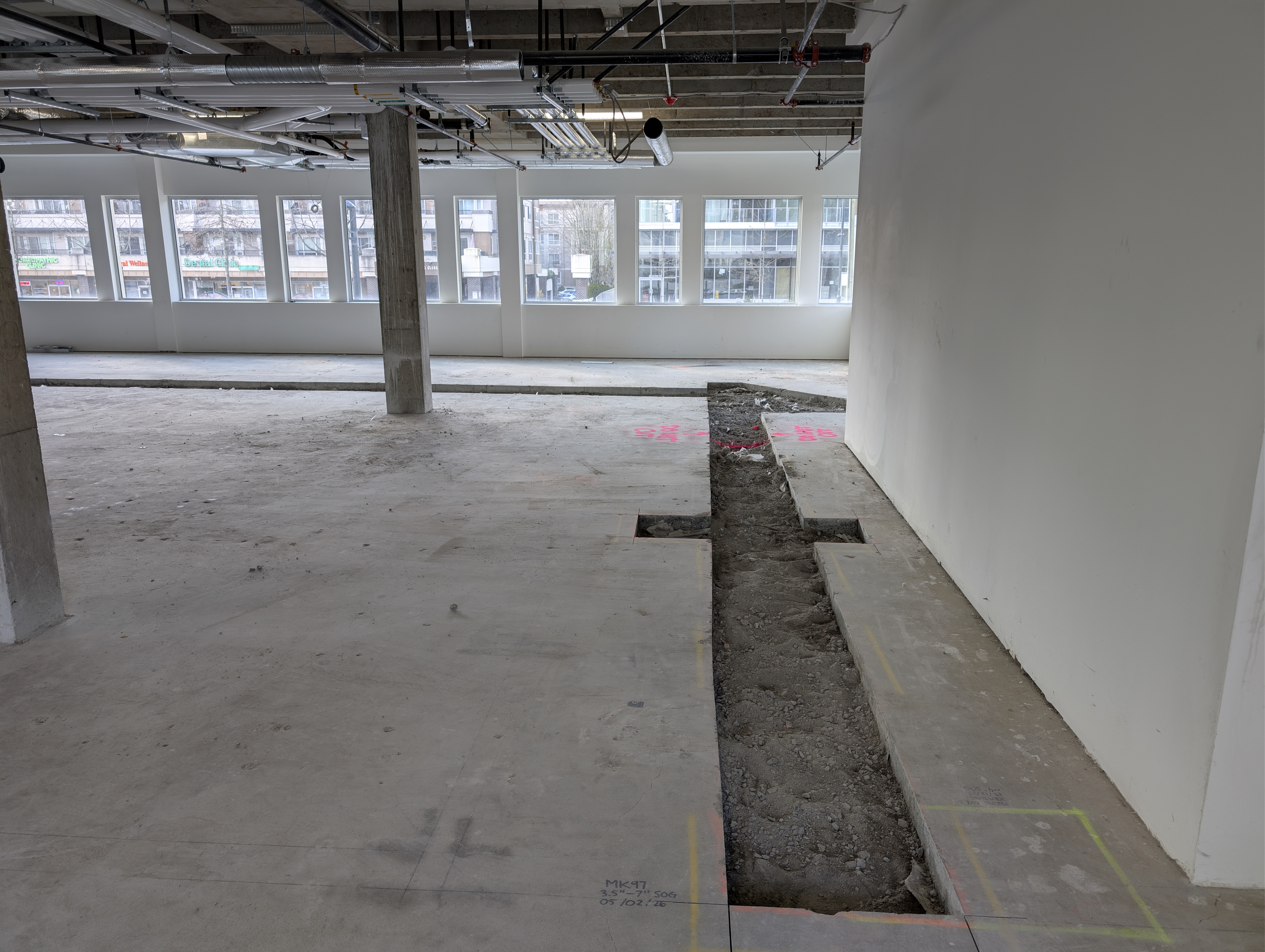
In the construction industry, the overall efficiency of a project often comes down to how well different trades and their scopes of work are coordinated.
NDT METHODS
Tools and techniques
Learn about the methods that make our work possible. We dive into the technology as well as our practical application for the issues at hand.


Videos
Our services in action
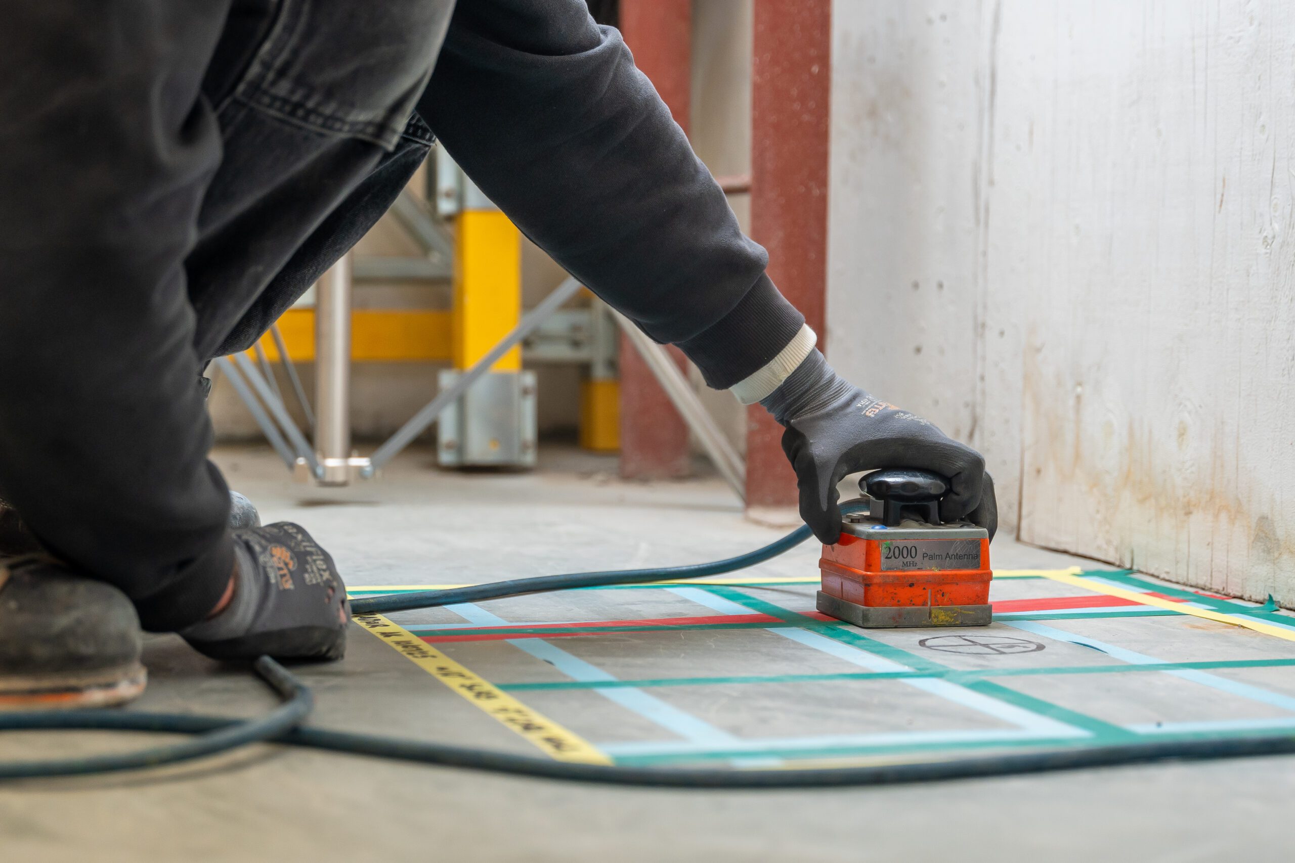
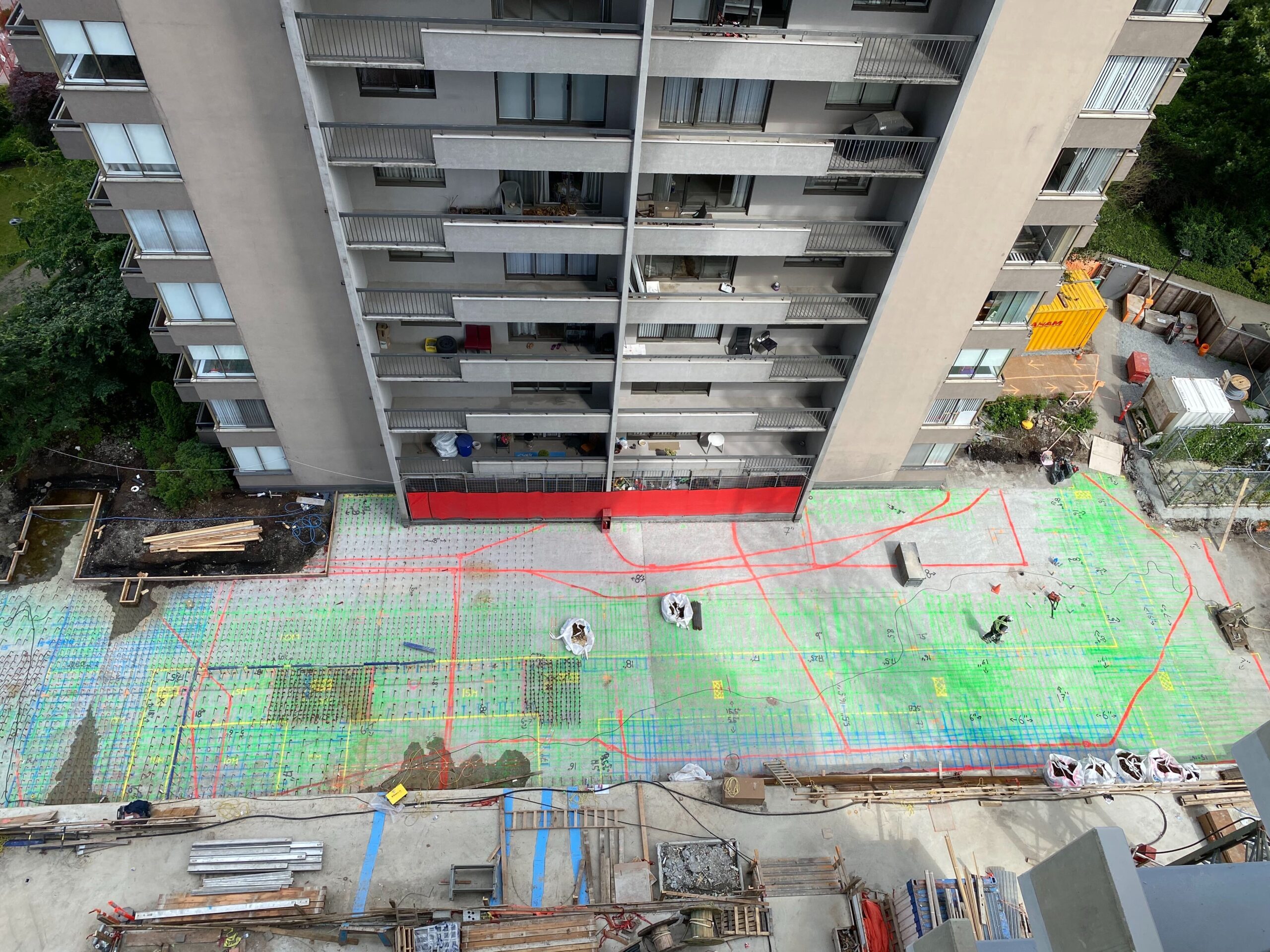
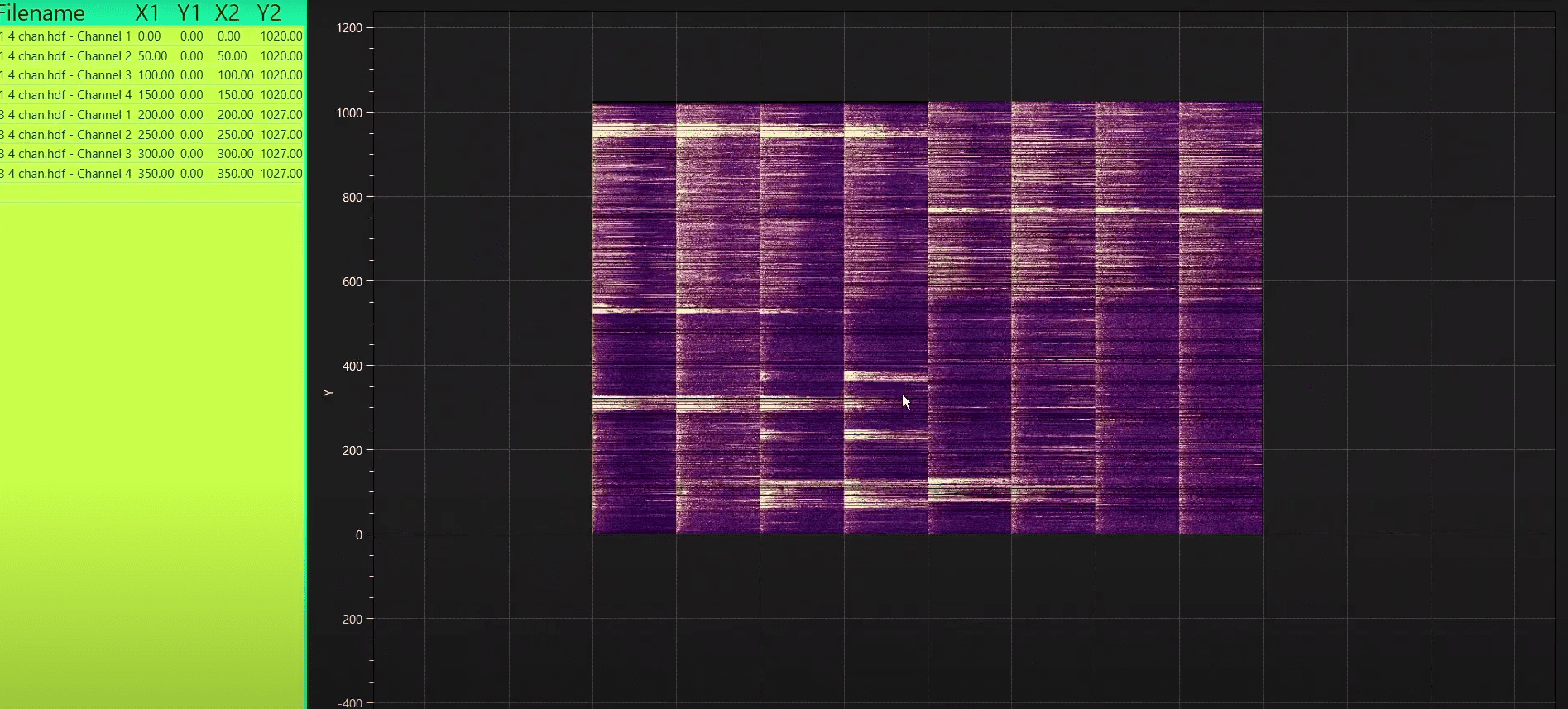
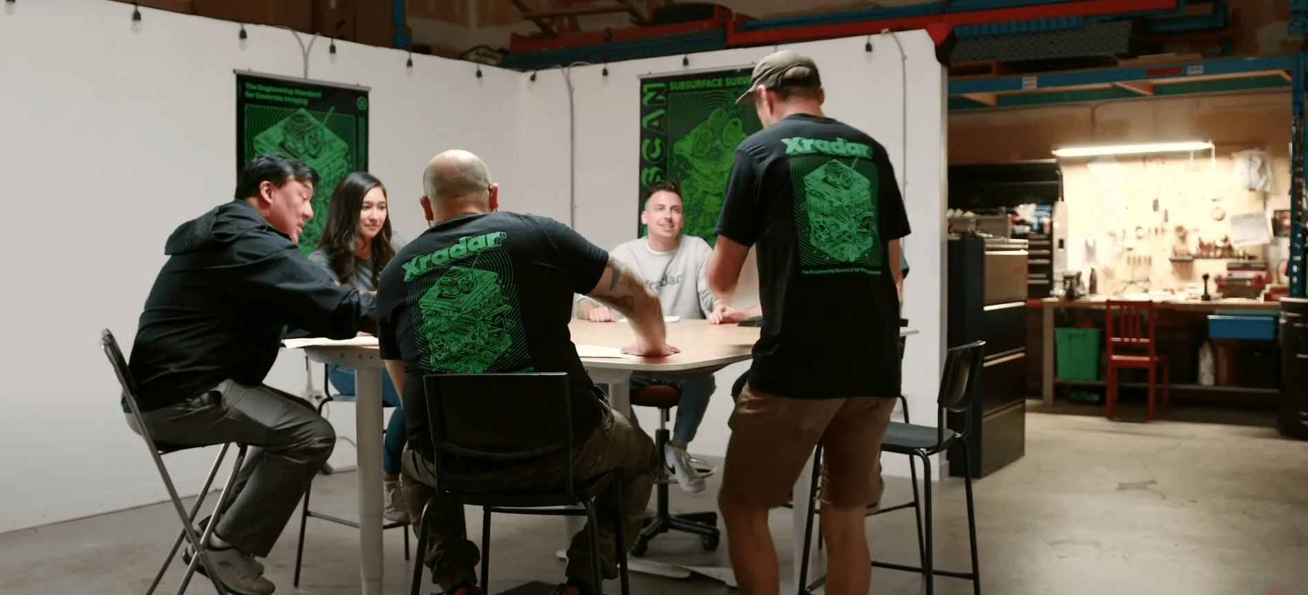
Visual breakdowns of our services and technology, from field demonstrations to R&D previews.
Youtube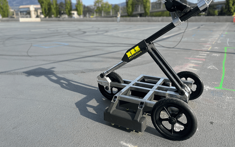
SAMPLE REPORTS
See exactly what to expect from an Xradar report
Our reports are designed to clearly communicate findings, layouts, and recommendations for every investigation. Request a sample to see how we present that data, including annotations, and visual references in a format that engineers and contractors can rely on.
REQUEST SAMPLEFAQS
Service FAQs
Please review these frequently asked questions about our services. If your question isn’t here, please contact our team.
-
XRSounder geomaps delamination live to a CAD-exportable file. The device includes XRMapper post-processing software, allowing engineers and inspectors to digitally map large areas, overlay data, and historically track condition assessments over time.
-
It is built for large concrete structures, including parking garages (parkades), bridge decks, warehouse and industrial floors, and municipal infrastructure.
-
Yes. XRSounder effectively locates and maps areas where protective coatings or membranes have lost adhesion, helping to prevent costly water ingress and surface failure that traditional sounding might miss.
-
The system offers high-resolution, pinpoint detection capable of resolving concrete defects and delamination down to one square foot. This accuracy enables early intervention and helps prevent costly, widespread repairs.