
Overview
Xradar™ Concrete Scanning is an advanced imaging capability, utilizing GPR (Ground Penetrating Radar) technology. It uses radar amplitude, phase, and shape to achieve maximum performance for ‘freehand’ B-scan analysis. Combined with the knowledge that comes with Xradar’s Academy, Xradar has become one of the leaders in GPR Concrete Scanning.
What is Xradar™?
Advanced Concrete Imaging Technology
Xradar is a proprietary enhanced concrete scanning system that uses ground penetrating radar (GPR) technology tailored specifically for concrete imaging. Xradar is able to achieve the locating clarity of x-ray, as well as the positional accuracy that comes with the safer, faster, more flexible GPR.
Highly Accurate, Non-Destructive Testing Method
Xradar detects and maps embedded objects in concrete (like rebar, post-tension cables, conduits, and voids) with millimeter accuracy. This allows you to cut, core or drill with confidence. Xradar guarantees accuracy, with scanning errors of under 0.3%.
An Industry Standard Delivered by Trained Technicians
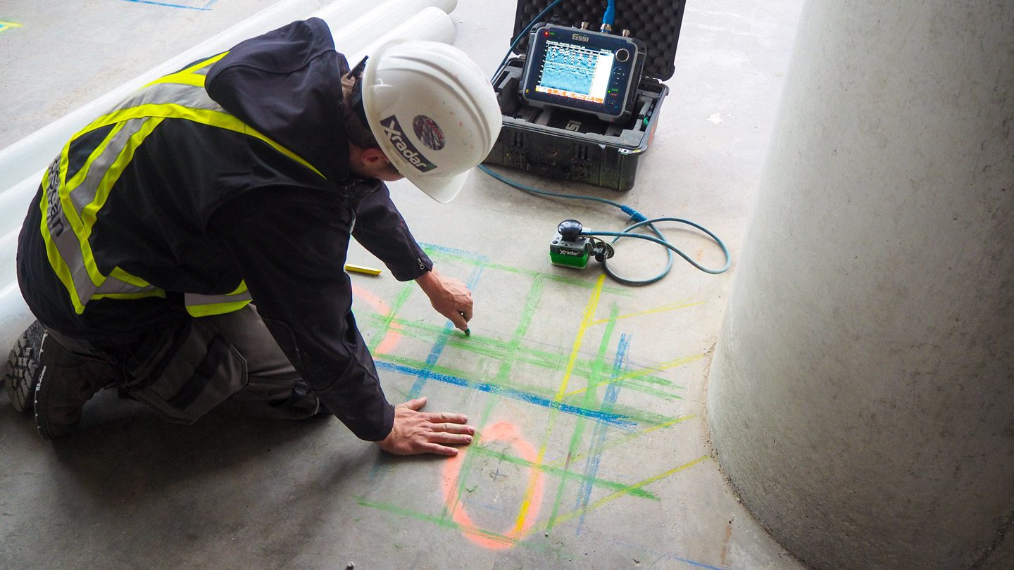
Xradar isn’t just a tool. It is a certified, field-ready service delivered by extensively trained technicians. Each scan includes key markings, interpretation, and reporting that empowers construction and engineering teams to make safe, informed decisions.
USES OF XRADAR CONCRETE SCANNING
Applications of Ground Penetrating Radar and Xradar™
Xradar™ has applications in a number of fields. Most commonly it can be used in construction and engineering fields as a form of non-destructive testing (NDT) on structures and pavements.
Xradar is often used to provide services such as concrete scanning, concrete corrosion mapping, structural investigations, pre-design scanning, and visual inspections (alongside other methods such as laser scanning).
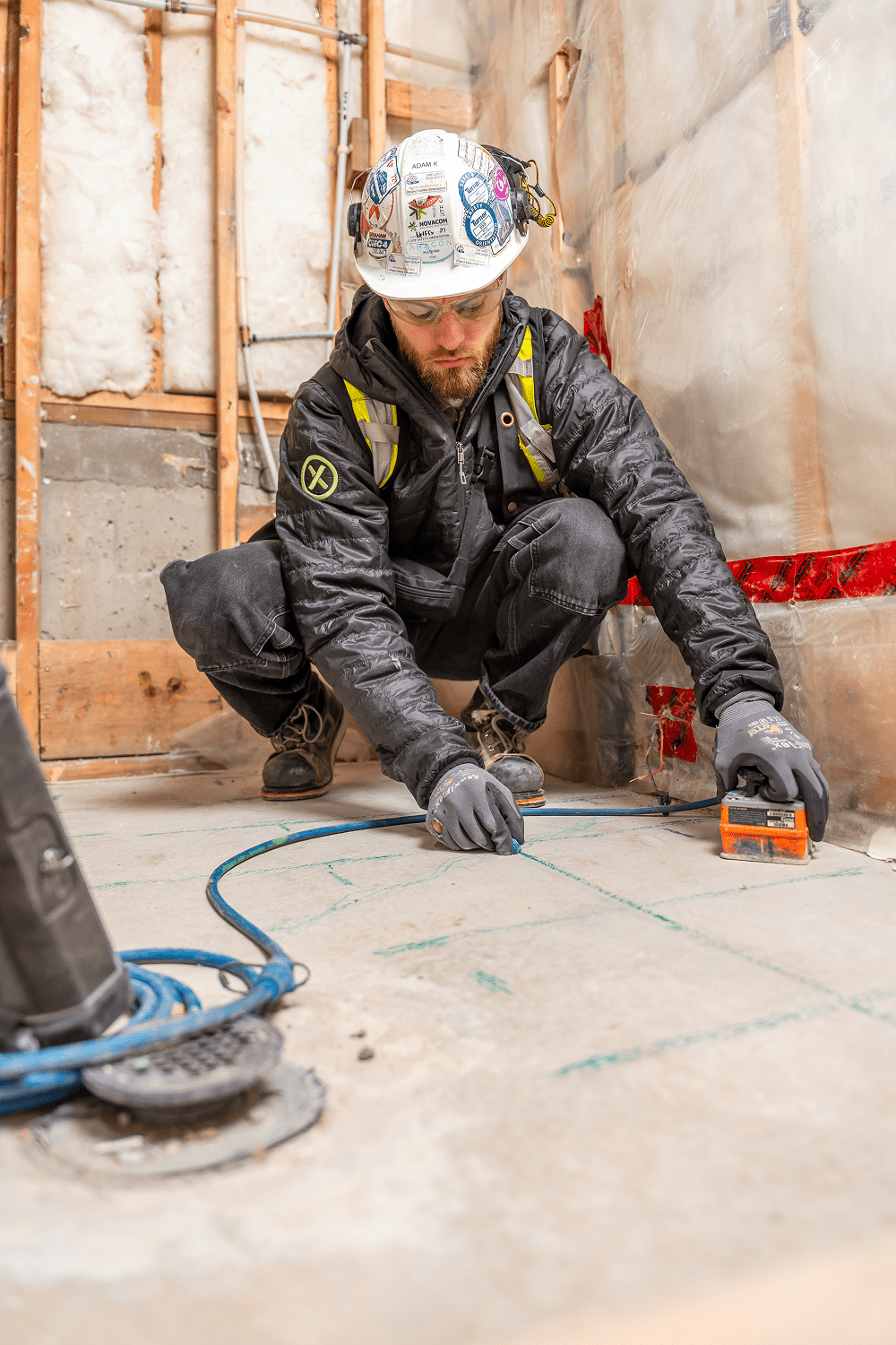
This process allows companies to safely cut and core concrete. The method can accurately identify and map rebar, electrical conduits, water lines, and PT cables, which are crucial not to damage in order to maintain safe construction sites.
Understanding the Technology
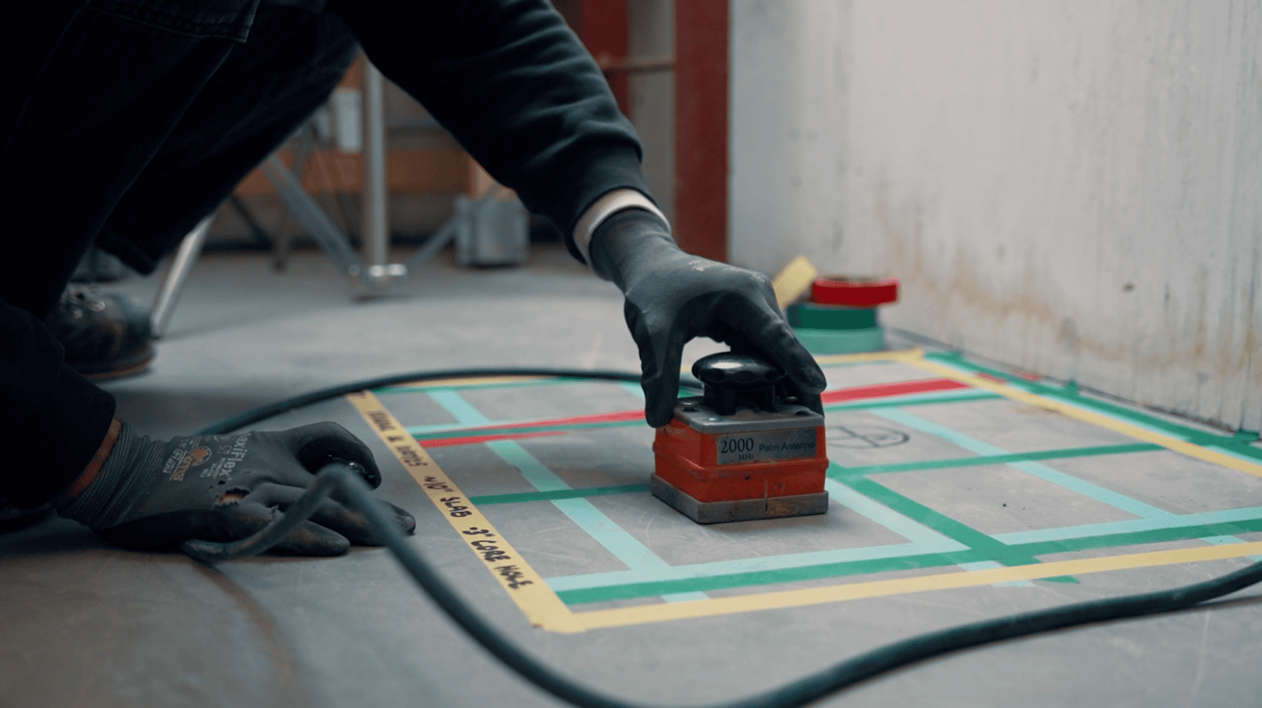
The systems used by Xradar™ consist of a transmitter, a receiver, and a control unit. The transmitting antenna begins by sending electromagnetic waves into the ground, which are then reflected from embedded targets.
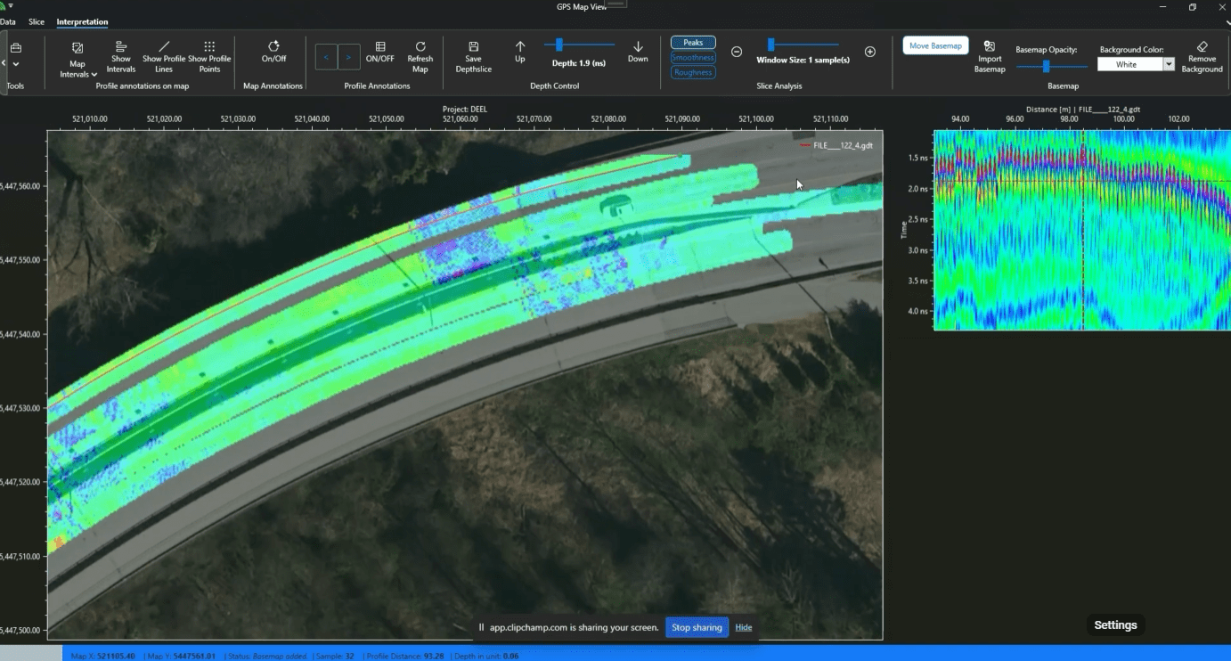
Reflections are produced whenever the wave enters a material that differs in its conductive properties from the material it left. The receiving antenna then receives the wave reflections and measures the travel time and strength. This is then converted into an accurate image of whatever is below the surface, which is crucially then interpreted and mapped by the trained technician.
A number of factors can be altered depending on the project specifics and we tailor methods and procedures to suit client’s needs. Changing the frequency of the wave can alter the depth and detail of the scan, therefore the technician’s antenna choice is one of the most important factors in survey design.
Want to learn more about our proven process? Get in touch.
FAQS
Service FAQs
Please review these frequently asked questions about our services. If your question isn’t here, please contact our team.
More FAQs & Resources-
XRSounder geomaps delamination live to a CAD-exportable file. The device includes XRMapper post-processing software, allowing engineers and inspectors to digitally map large areas, overlay data, and historically track condition assessments over time.
-
It is built for large concrete structures, including parking garages (parkades), bridge decks, warehouse and industrial floors, and municipal infrastructure.
-
Yes. XRSounder effectively locates and maps areas where protective coatings or membranes have lost adhesion, helping to prevent costly water ingress and surface failure that traditional sounding might miss.
-
The system offers high-resolution, pinpoint detection capable of resolving concrete defects and delamination down to one square foot. This accuracy enables early intervention and helps prevent costly, widespread repairs.
looking for a service?
Related Services
Learn how GPR concrete scanning helps ensure the integrity of your concrete structures, across multiple Xradar services.


Related Projects
Recent Examples of Our Work
A look at some of our recent projects – from small site scans to complex structural assessments. These projects show the variety of work we do, and how our accuracy keeps your project on track.
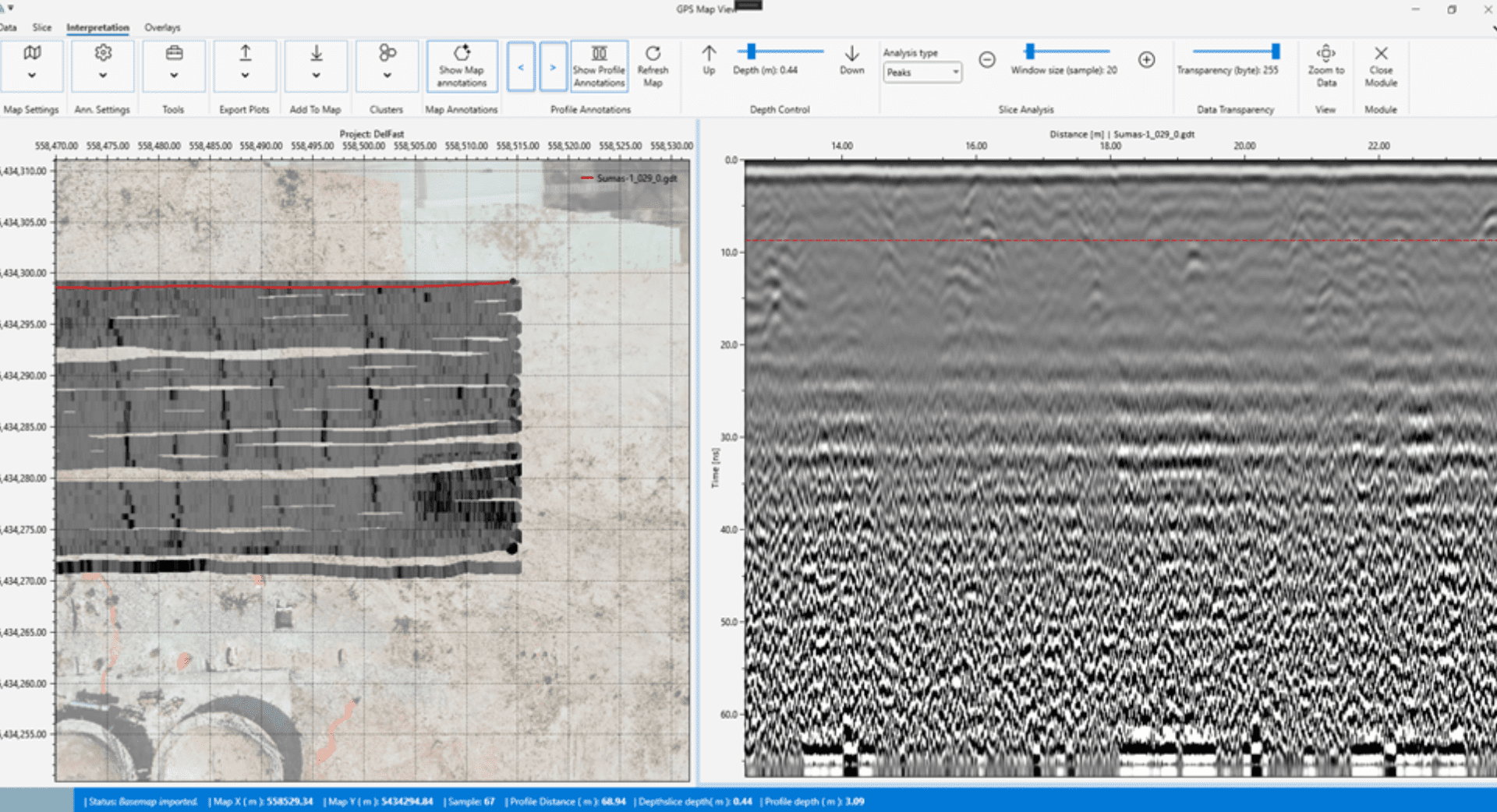
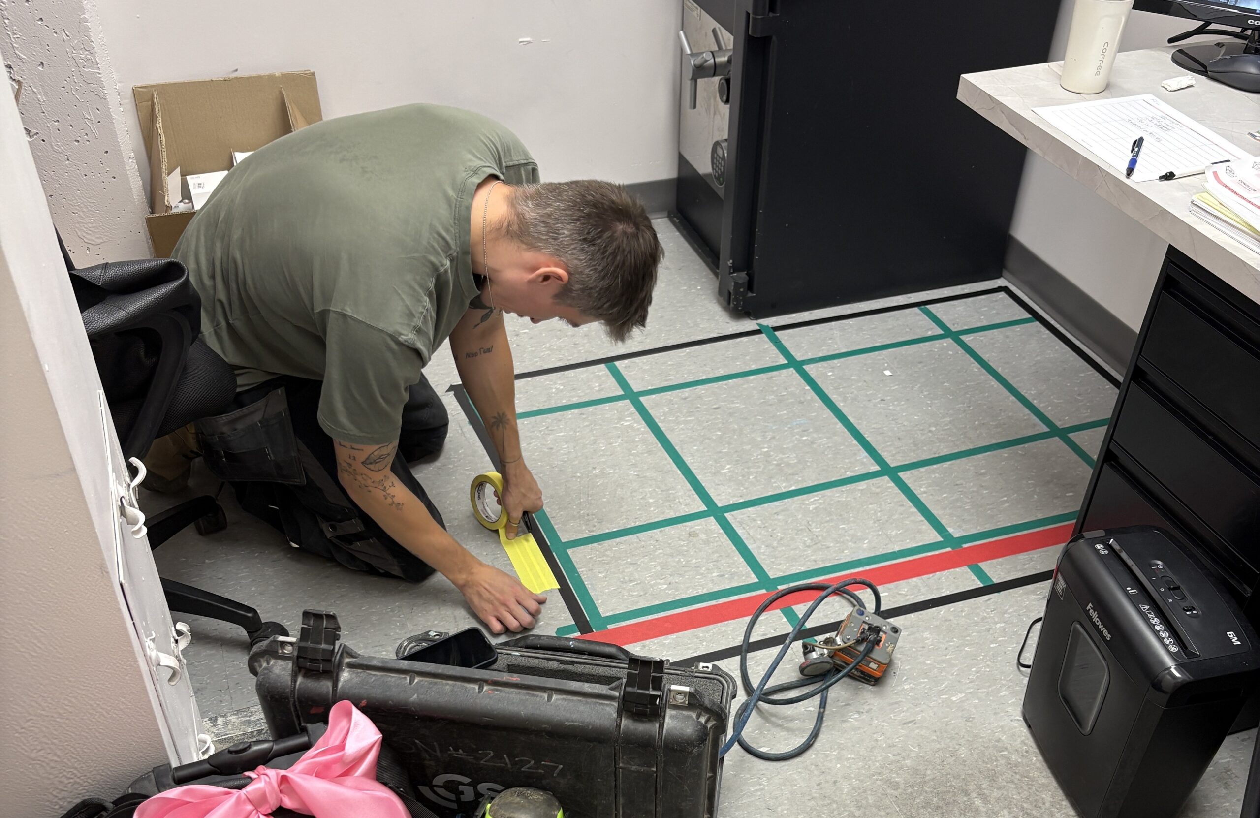
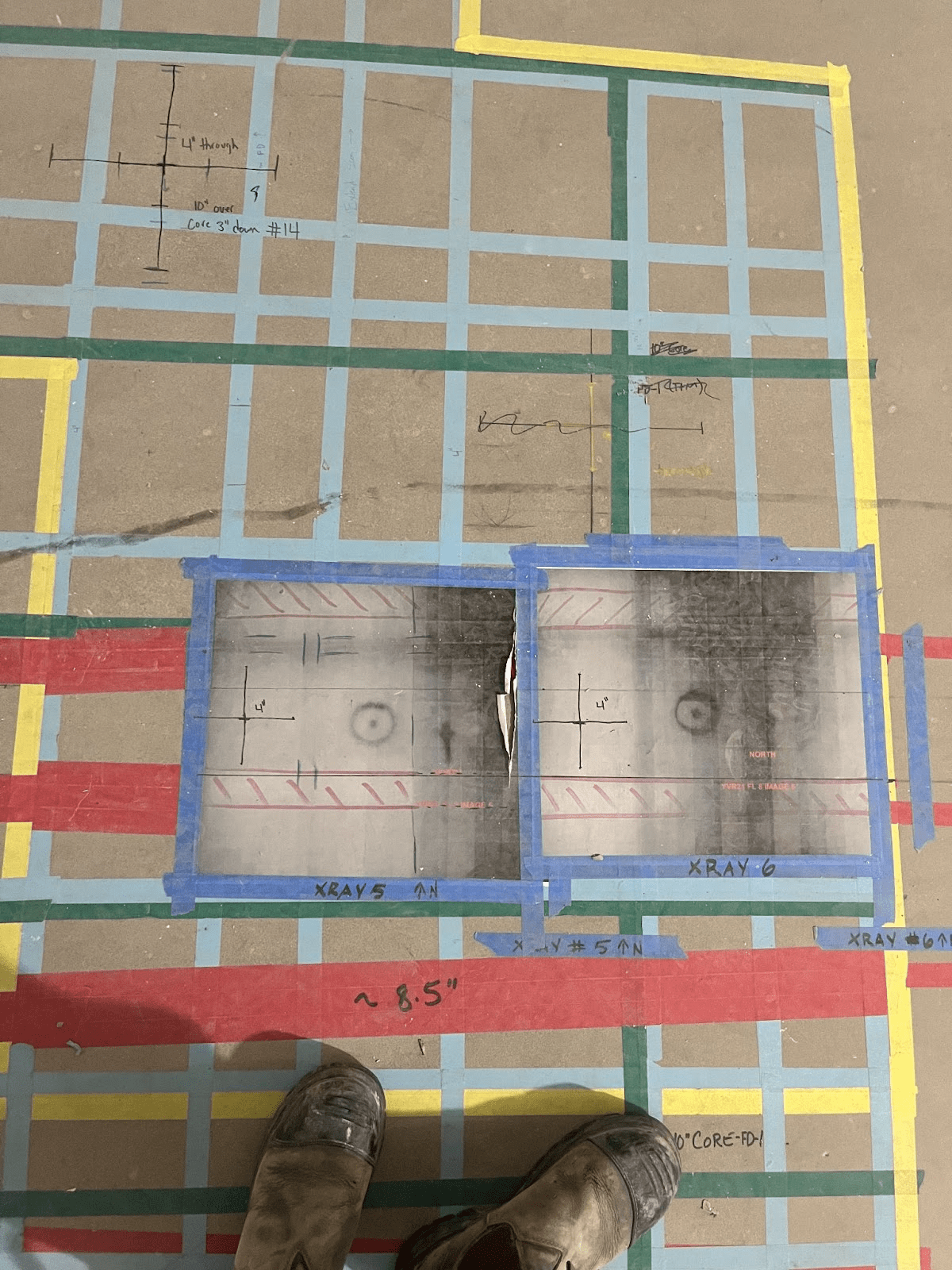
Explore Projects by Category
- Building Information Modelling (BIM)
- Concrete Coring
- Concrete Corrosion Mapping
- Concrete Cutting
- Concrete Scanning
- Delamination Detection
- GRAD
- Ground Penetrating Radar
- Indoor Utility Locating
- Pre-Design
- Pre-Design Scanning
- Pre-Pour Documentation
- Structural Investigation
- Ultrasound Investigation
- Visual Inspection
- Void and Crack Detection
- XRSounder
Related Resources
Learn More About Our Approach
Stay informed with Xradar’s collection of technical resources, industry insights, and expert guides.
Explore Our Resources-
The Importance of Hiring a Concrete Scanning Service
Concrete scanning technology has transformed the way contractors, engineers, and building owners understand what lies inside concrete structures. Whether you’re coring, cutting, drilling, renovating, or conducting structural investigations, Ground Penetrating Radar (GPR) scanning has become the preferred method for identifying embedded objects before work begins.
-
Introducing GRAD: Unlocking the Full Value of GPR Data
Ground Penetrating Radar technology has transformed the way we investigate concrete and subsurface conditions. Modern GPR systems can collect enormous amounts of high-resolution data, providing valuable insights into structural elements, embedded objects, and hidden conditions. However, the true value of that data depends on how effectively it can be processed, interpreted, and communicated.