
Overview
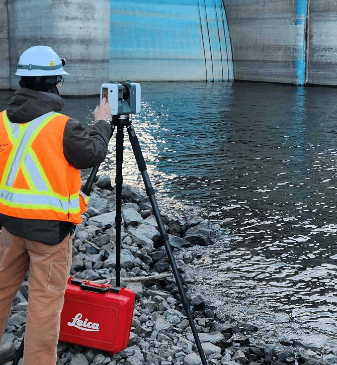
Xradar provides precise, 3D spatial documentation of existing buildings, infrastructure, and construction sites through laser scanning, also known as LiDAR (Light Detection and Ranging). This method involves emitting laser pulses and measuring their return time to map surfaces with exceptional accuracy. The result is a dense point cloud a digital dataset capturing the as-built geometry of any environment.
Benefits
Real World Applications of Laser Scanning
Xradar’s laser scanning method enhances accuracy, reduces manual measurement errors, and supports collaboration across disciplines.
Core applications include:
As-Built Verification. Capture the exact layout and condition of existing structures to validate construction progress or to update outdated plans essential for renovations, change tracking, and project close-outs.
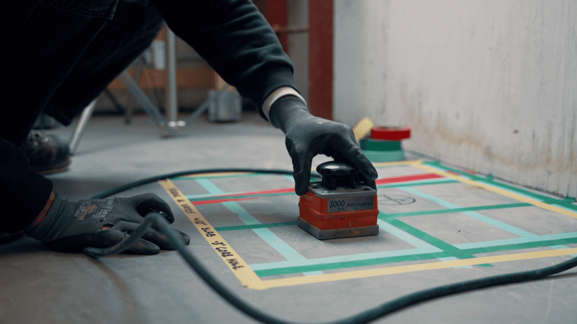
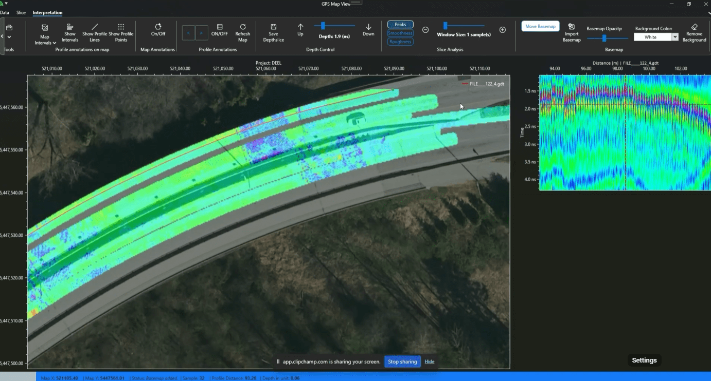
Pre-Design Concrete Scanning. Laser scanning is combined with GPR scanning to produce detailed pre-pour layouts of in-slab targets such as rebar and conduits. This supports conflict-free space planning, core hole positioning, and design validation before any concrete is poured. Learn how we helped Union Station, Toronto with our pre-design process. Smart space planning enables the design team to formulate ideas and evaluate design concepts without the requirement to revisit down the line. This can then be viewed via a Virtual Construction Site Walkthrough.
Design & BIM Integration. Feed accurate scan data directly into BIM platforms to reduce clashes and enhance coordination between disciplines.
Construction Progress Monitoring. Generate scheduled scans throughout the project lifecycle to document and validate completed work, reducing disputes and improving milestone tracking.
Xradar Pre-Pour Documentation (Sitewalk, or Inspection Checklist).
Capture accurate slab conditions before concrete is poured. This supports quality assurance, dispute resolution, and future scanning comparisons.
Challenges in 3D Laser Scanning
- Line-of-Sight Constraints
- Large File Sizes
- Environmental Interference
- Expert Interpretation Needed
- Initial Investment
While laser scanning is a powerful method, it’s not without limitations:
At Xradar, our skilled technicians mitigate these issues using smart planning, field expertise, and industry-standard software tools to ensure your data is clean, accessible, and actionable.
Why Choose Xradar for Laser Scanning?
- Millimeter-Level Accuracy
- Efficient Turnaround
- Surface Condition Capture
- Integrated Workflows
FAQS
Service FAQs
Please review these frequently asked questions about our services. If your question isn’t here, please contact our team.
More FAQs & Resources-
XRSounder geomaps delamination live to a CAD-exportable file. The device includes XRMapper post-processing software, allowing engineers and inspectors to digitally map large areas, overlay data, and historically track condition assessments over time.
-
It is built for large concrete structures, including parking garages (parkades), bridge decks, warehouse and industrial floors, and municipal infrastructure.
-
Yes. XRSounder effectively locates and maps areas where protective coatings or membranes have lost adhesion, helping to prevent costly water ingress and surface failure that traditional sounding might miss.
-
The system offers high-resolution, pinpoint detection capable of resolving concrete defects and delamination down to one square foot. This accuracy enables early intervention and helps prevent costly, widespread repairs.
Laser Scanning
Related Services
Discover how 3D Laser Scanning supports precise documentation and design


Related Projects
Recent Examples of Our Work
A look at some of our recent projects – from small site scans to complex structural assessments. These projects show the variety of work we do, and how our accuracy keeps your project on track.
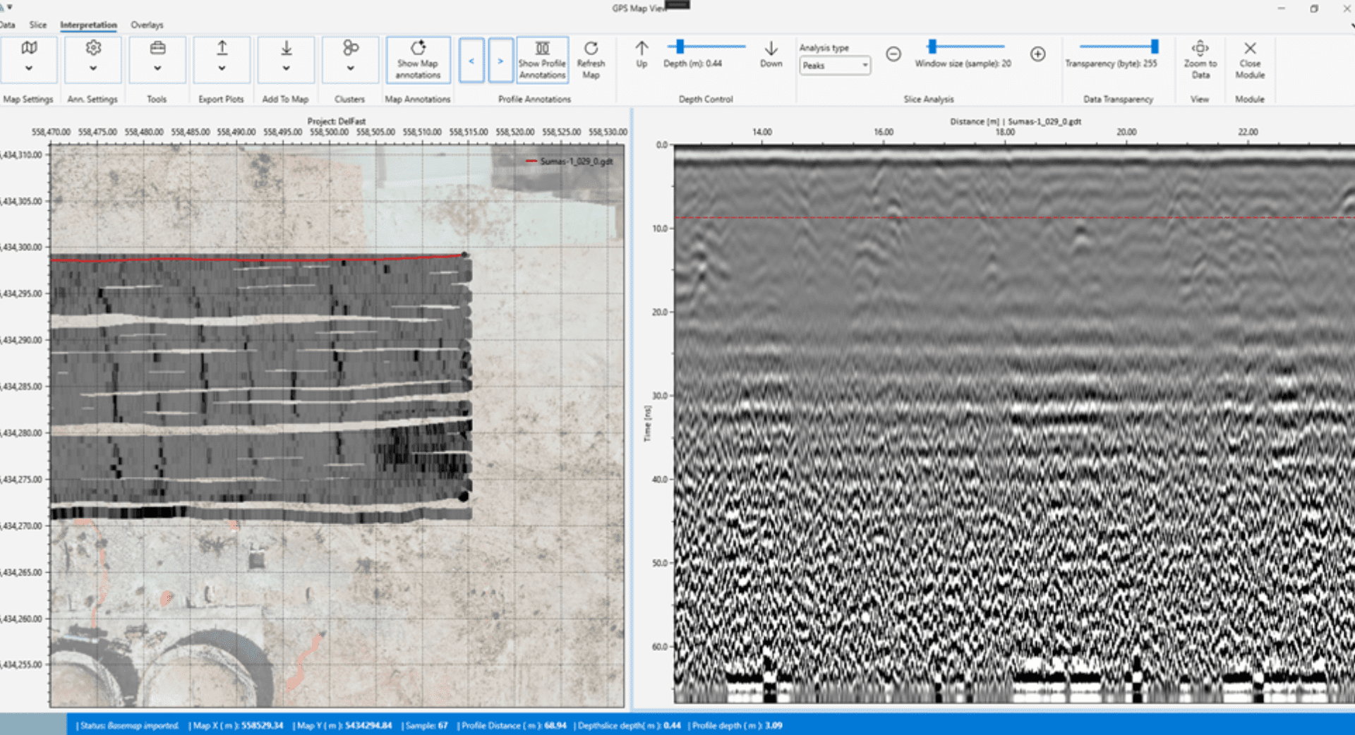
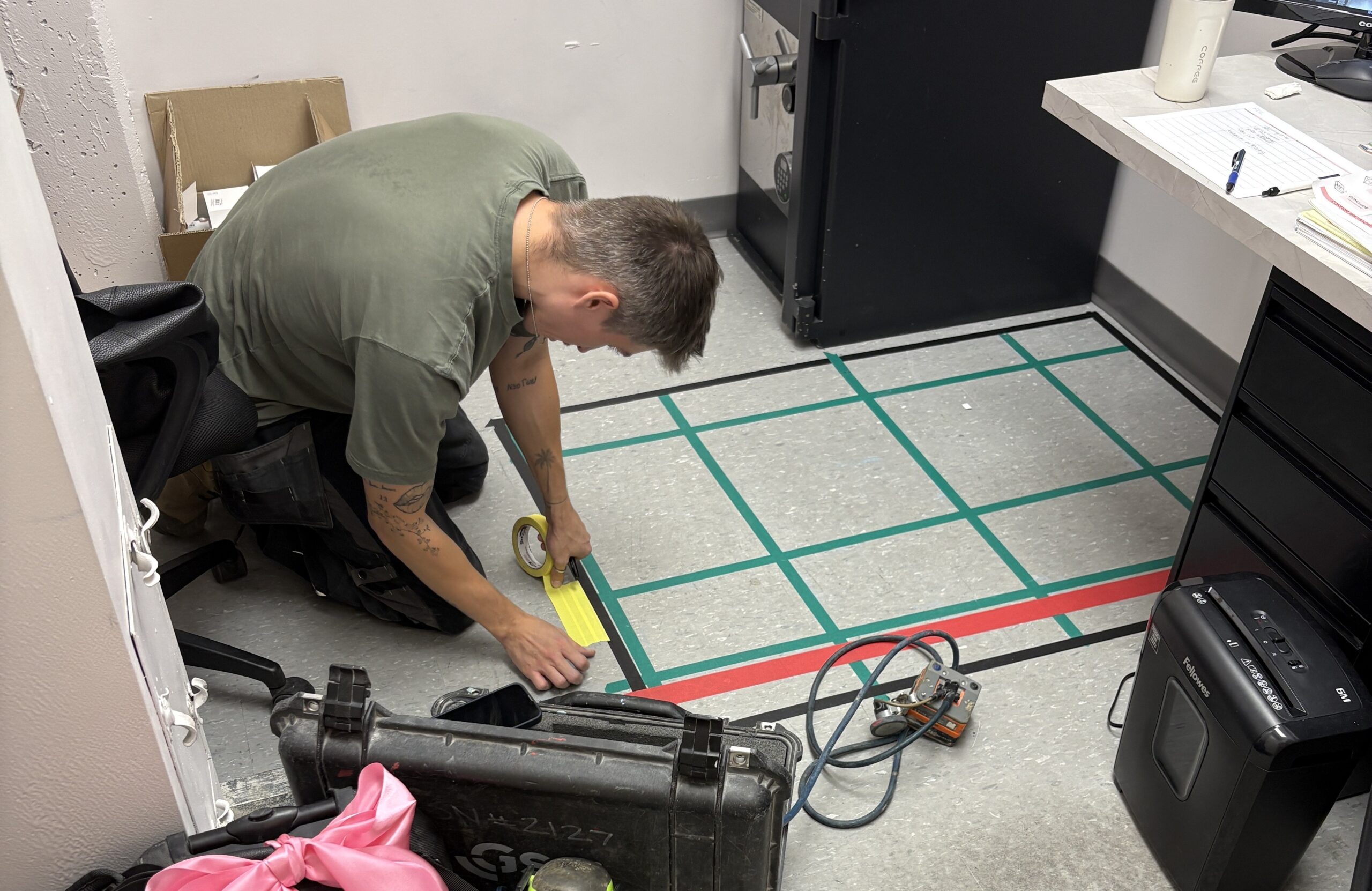
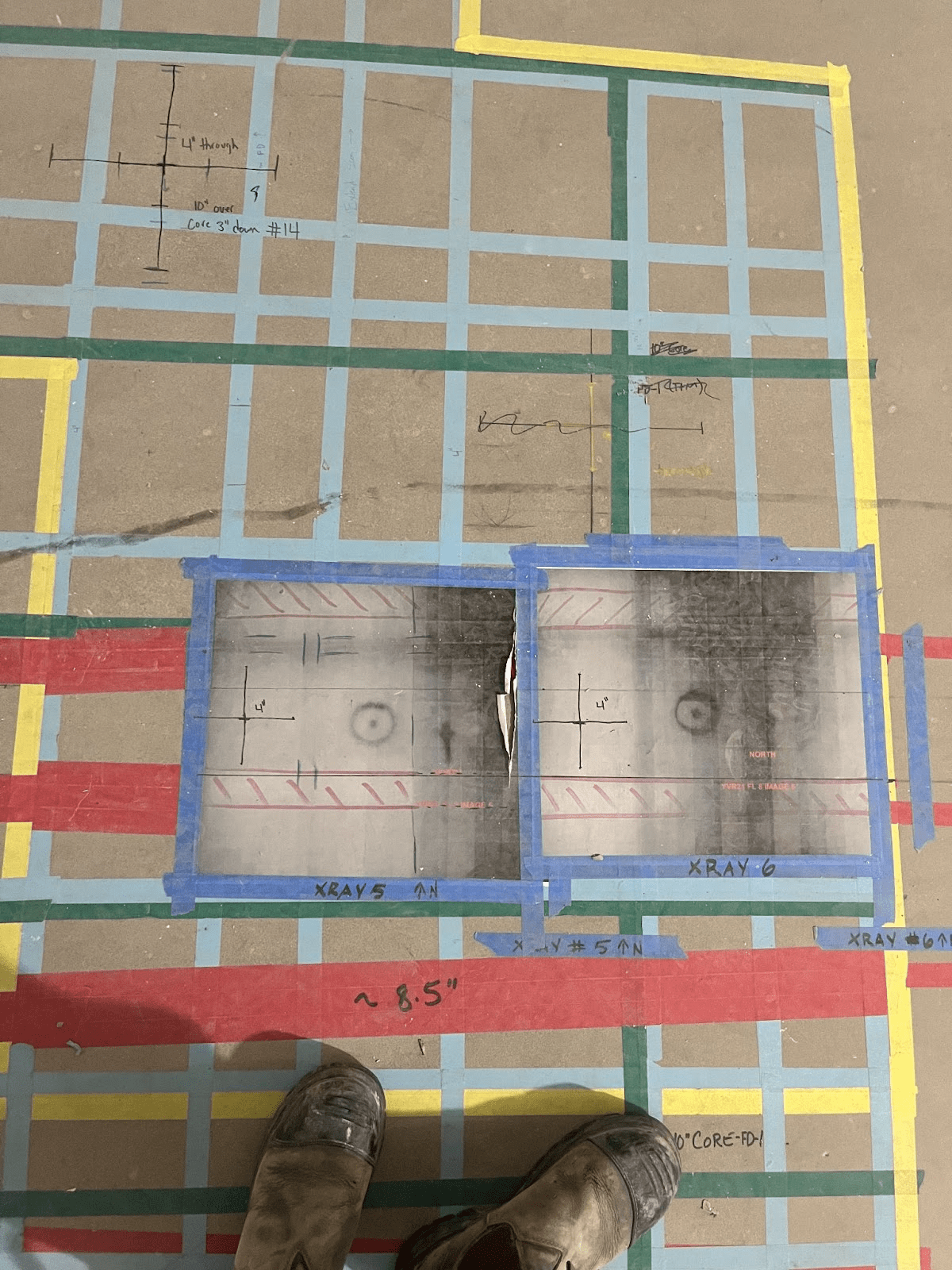
Explore Projects by Category
- Building Information Modelling (BIM)
- Concrete Coring
- Concrete Corrosion Mapping
- Concrete Cutting
- Concrete Scanning
- Delamination Detection
- GRAD
- Ground Penetrating Radar
- Indoor Utility Locating
- Pre-Design
- Pre-Design Scanning
- Pre-Pour Documentation
- Structural Investigation
- Ultrasound Investigation
- Visual Inspection
- Void and Crack Detection
- XRSounder
Related Resources
Learn More About Our Approach
Stay informed with Xradar’s collection of technical resources, industry insights, and expert guides.
Explore Our Resources-
The Importance of Hiring a Concrete Scanning Service
Concrete scanning technology has transformed the way contractors, engineers, and building owners understand what lies inside concrete structures. Whether you’re coring, cutting, drilling, renovating, or conducting structural investigations, Ground Penetrating Radar (GPR) scanning has become the preferred method for identifying embedded objects before work begins.
-
Introducing GRAD: Unlocking the Full Value of GPR Data
Ground Penetrating Radar technology has transformed the way we investigate concrete and subsurface conditions. Modern GPR systems can collect enormous amounts of high-resolution data, providing valuable insights into structural elements, embedded objects, and hidden conditions. However, the true value of that data depends on how effectively it can be processed, interpreted, and communicated.