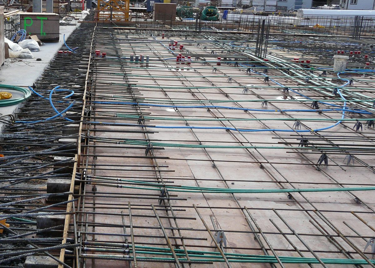
High-frequency shallow GPR for accurate and efficient assessment of asphalt, ballast and sub-grade thickness. Identify areas of potential pavement deterioration and moisture ingress.
Xradar utilizes specialized GPR equipment for operating at highway speeds using a van mounted multi-channel GPR, requiring no traffic control. All data is referenced with mapping grade GPS including topographic data. The GPR data collection provides up to 8 continuous profiles parallel to the roadway direction. These profiles are typically distributed in 50cm or 25cm offsets providing incredible data density, subsequently allowing for more accurate information of how the internal pavement structure varies not only longitudinally (parallel to the roadway) but also laterally (perpendicularly to the roadway).
Xradar is capable of collecting data in this way over hundreds of kilometres a day, providing high efficiency and making large scale projects more affordable. Varying levels of depth and detail can be specified depending on project requirement.
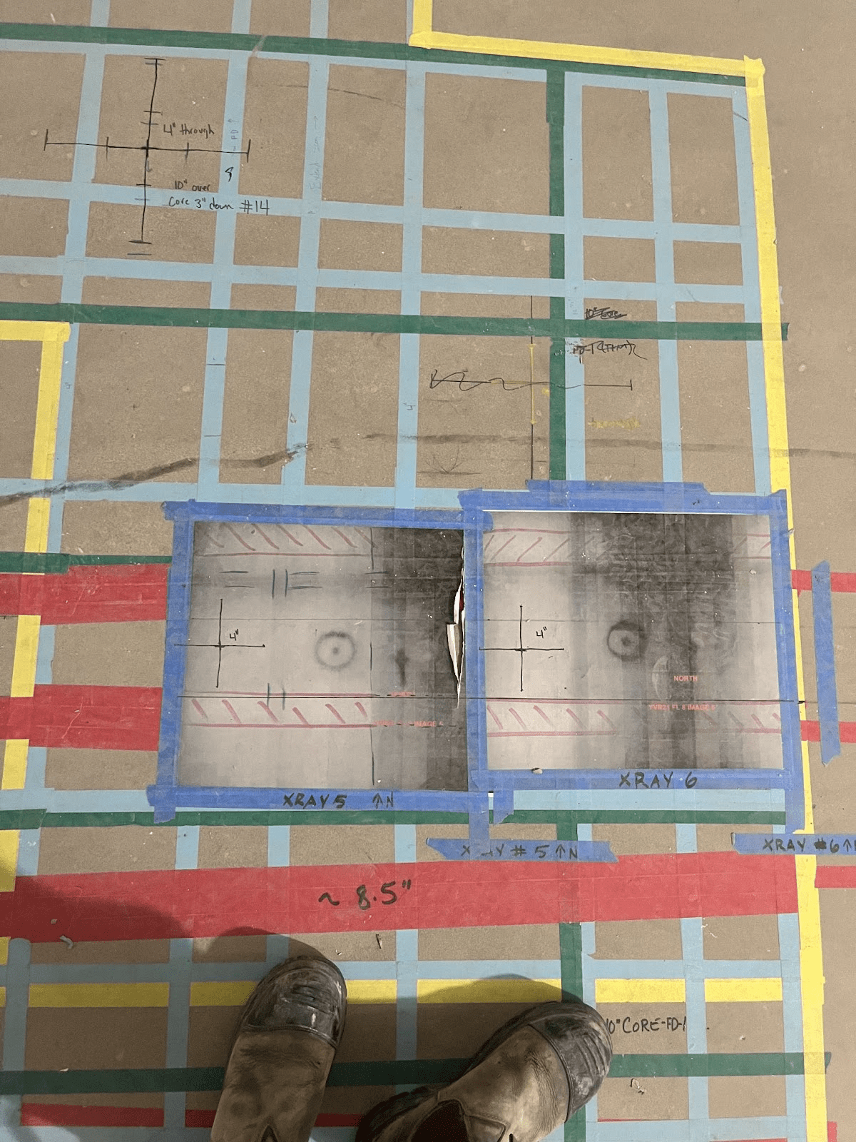
Individual layers showing the structure beneath the pavement surface are identified within each radar profile and their depths traced in our proprietary software. Compiling these traces can provide either a plan view (top-down) contoured heat map showing the variation of each layer individually, or a side view profile of all identified layers in 2D simultaneously.
The processed data can provide valuable information which can be used for the smart design and planning of road maintenance. Data can be output in a variety of formats such as; .kml, .shp, .dxf/dwg, as well as contoured heat maps and image profiles.
Applications
Building quantitative data detailing the thickness of asphalt and supporting sub-grades can pave the way for more intelligent planning and design of mitigation and repairs. Understanding the distribution of deteriorating pavement can allow for more efficient and effective repair work and identify key problem areas. Surpassing just the identification of the areas, thickness data can better inform the estimation of required aggregate and ballast volume.
- Asphalt pavement and granular thickness
- Roadway condition (crack and pothole mapping)
- Sub-base thickness
- Sub-grade depth
- Soil-bedrock interface
- Shallow stratigraphy mapping