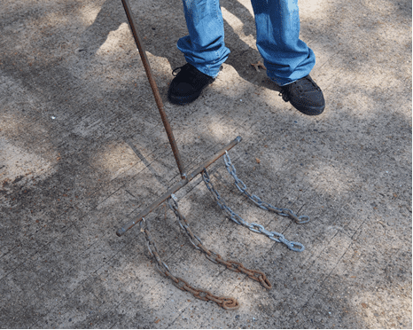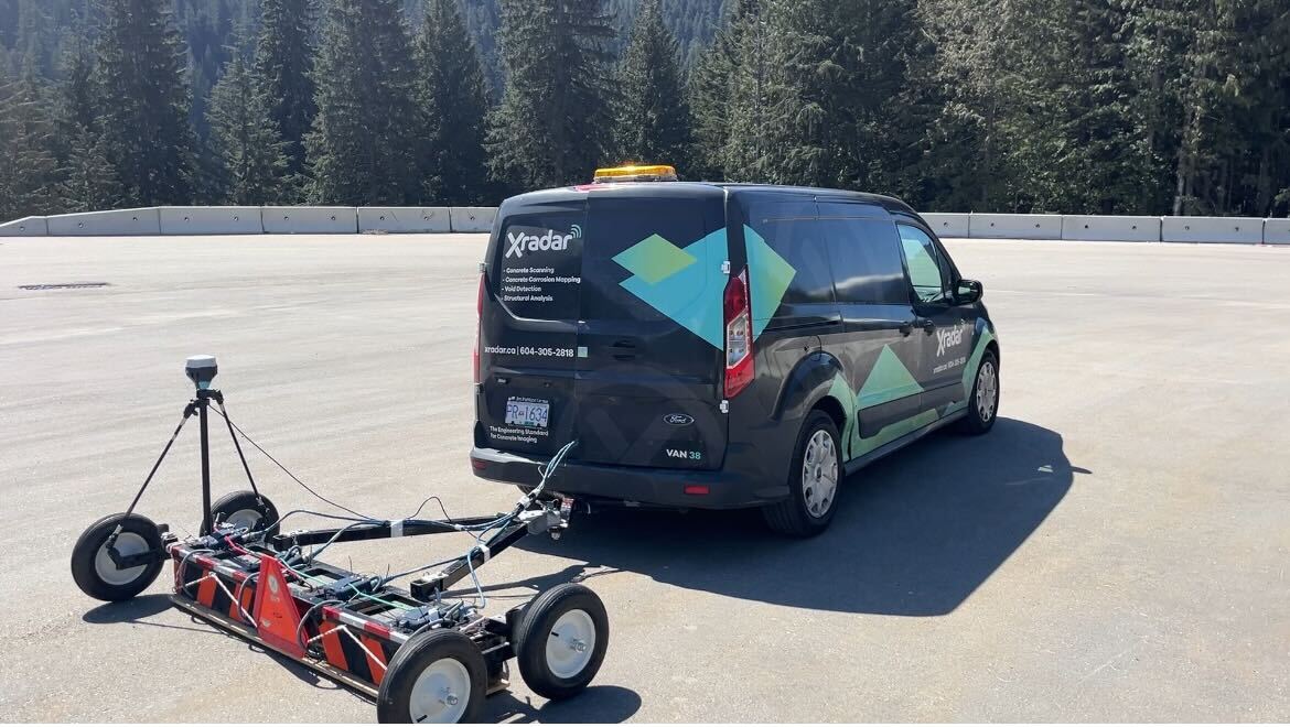
Ground Penetrating Radar technology has transformed the way we investigate concrete and subsurface conditions. Modern GPR systems can collect enormous amounts of high-resolution data, providing valuable insights into structural elements, embedded objects, and hidden conditions. However, the true value of that data depends on how effectively it can be processed, interpreted, and communicated.
GRAD was developed to address that challenge.
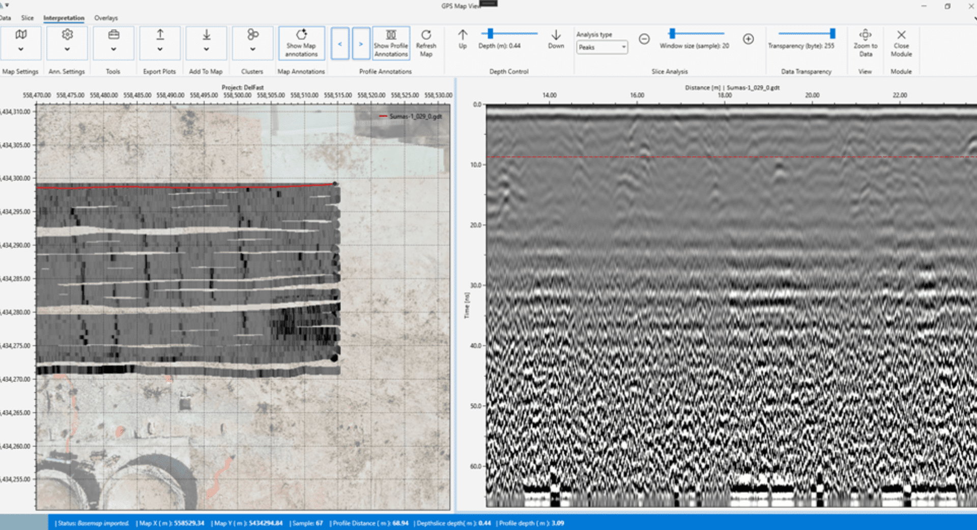
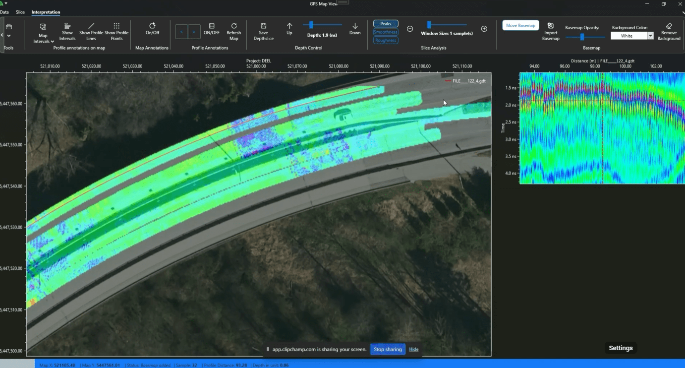
Powered by Xradar™, GRAD is an advanced data processing and interpretation platform designed to help transform complex GPR datasets into clear, actionable information. Built from real-world scanning experience and industry requirements, GRAD supports a more efficient approach to data analysis, visualization, and project reporting.
From Data Collection to Decision-Making
Collecting radar data is only one part of a successful investigation.
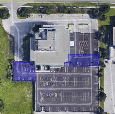
Every project generates thousands of individual data points that must be reviewed, processed, and interpreted. Whether the objective is identifying reinforcement layouts, locating embedded utilities, assessing structural conditions, or supporting infrastructure investigations, project teams require information that is accurate, organized, and easy to understand.
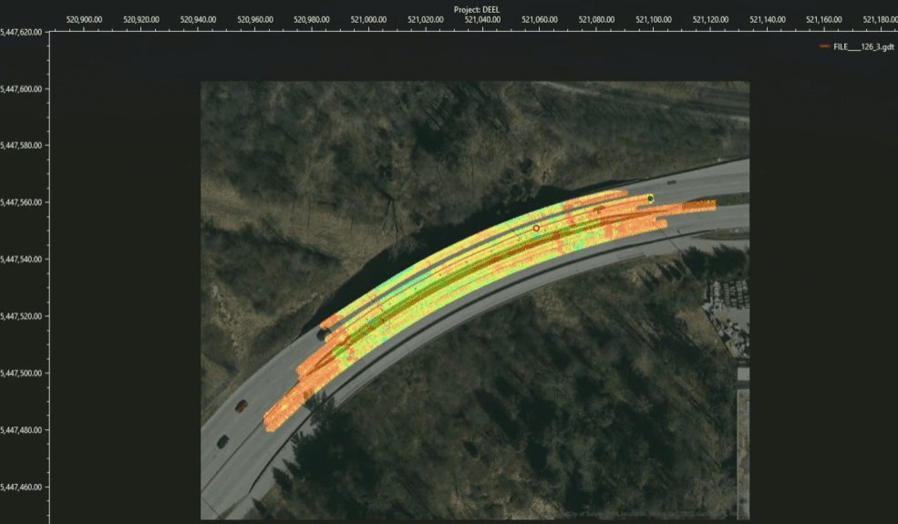
GRAD helps bridge the gap between field data collection and project decision-making by providing enhanced visualization and interpretation capabilities that support clearer project deliverables.
Rather than simply viewing radar scans, users can better understand the conditions beneath the surface and develop confidence in the conclusions drawn from the data.
Developed by Industry Professionals
Unlike many software platforms developed independently from field operations, GRAD was created by a company actively involved in advanced GPR investigations every day.
Xradar’s experience in concrete scanning, structural assessment, corrosion investigations, and subsurface imaging has directly influenced the development of the platform – and our technicians across the country optimize their use of it daily. This practical foundation ensures that GRAD is designed around the real challenges encountered on active construction sites, infrastructure projects, and engineering investigations.
The result is a platform built not only for processing data, but for supporting professional interpretation and reporting workflows.
Supporting Modern Infrastructure Investigations
As infrastructure continues to age and construction projects become increasingly complex, the demand for reliable subsurface information continues to grow.
Owners, engineers, consultants, and contractors require data they can trust before making critical decisions involving renovations, structural modifications, repairs, or new construction activities.
GRAD supports these objectives by helping transform raw GPR information into meaningful project intelligence. Through improved data visualization and interpretation workflows, project teams can better understand existing conditions while reducing uncertainty during planning and execution.
Designed for the Next Generation of GPR
The future of non-destructive testing is no longer limited to collecting data. The industry is moving toward integrated digital workflows where information can be processed, analyzed, visualized, and shared more effectively than ever before.
GRAD represents Xradar’s commitment to advancing that future.
By combining practical field experience with advanced data interpretation capabilities, GRAD helps unlock the full value of GPR investigations, supporting more informed decisions, improved project communication, and greater confidence in subsurface assessments.
Discover how GRAD is helping advance the interpretation and visualization of GPR data for concrete imaging, infrastructure investigations, and subsurface assessment projects. Visit the GRAD product page to learn more about the technology and its applications, and try GRAD free for 30 days.