
During this phase the space is analyzed to determine any requirement issues, constraints, and opportunities of the proposed site.
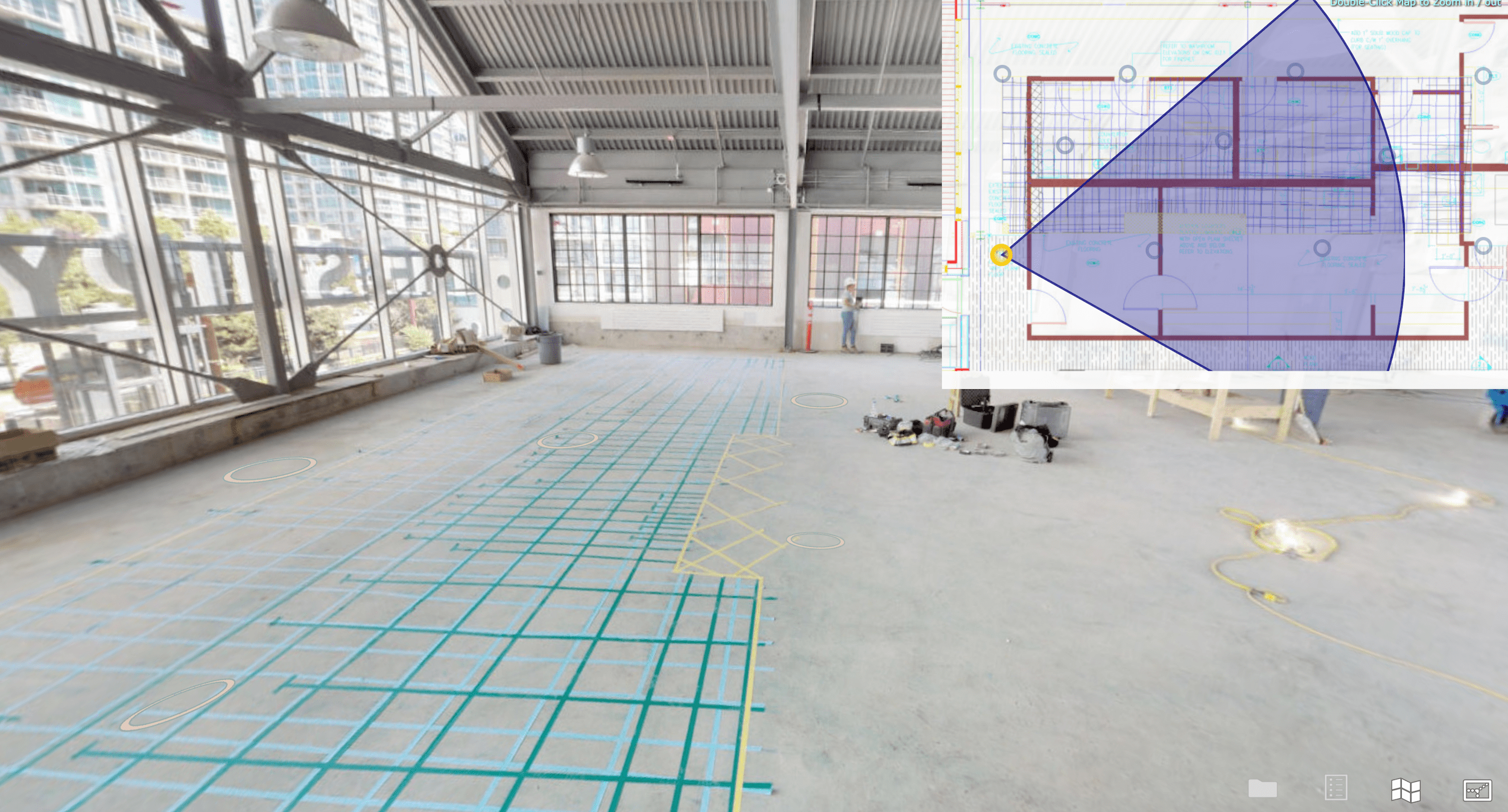
In order to facilitate this process Xradar™ is able to create a virtual site walkthrough, which allows you to explore the space and conduct planning remotely. To understand more about the benefits we take a look at the pre-design process below, along with how we create our virtual walkthroughs.
What does pre-design involve?
A range of assessments may take place during pre-design depending on the budget of the project, but commonly it includes site analysis, programming, construction cost analysis, and value engineering.
The aim of the pre-design phase is to ensure the project runs as efficiently as possible, within budget, and taking any risks and opportunities into consideration.
What is a pre-design scan?
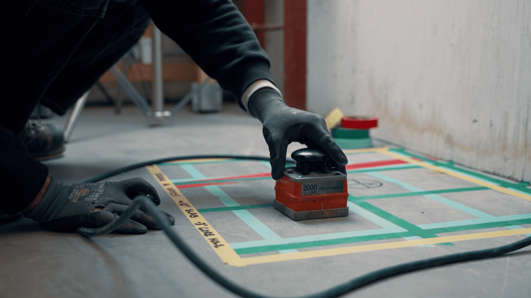
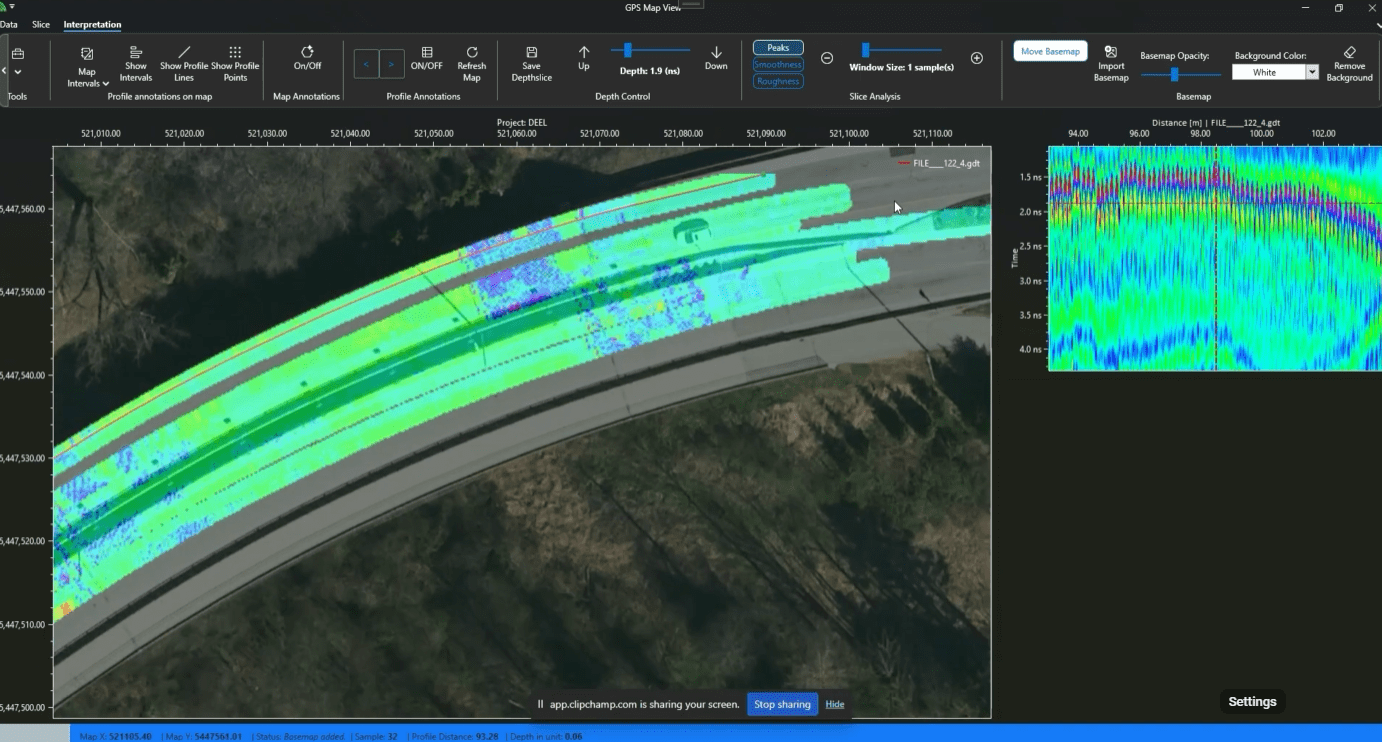
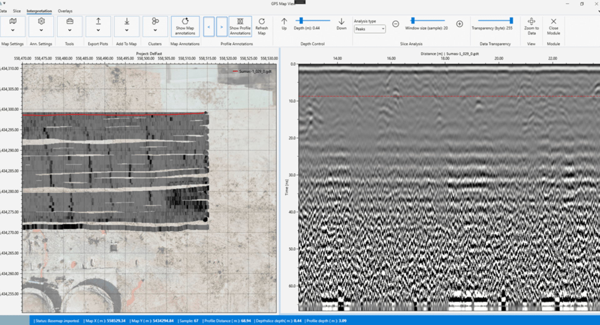
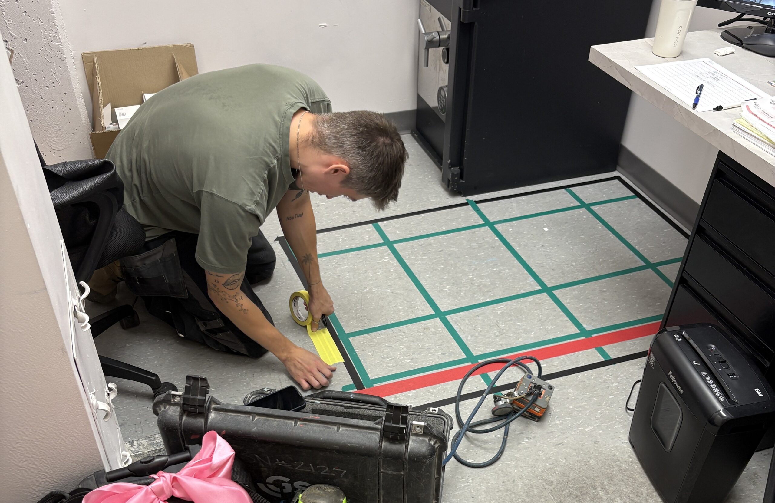
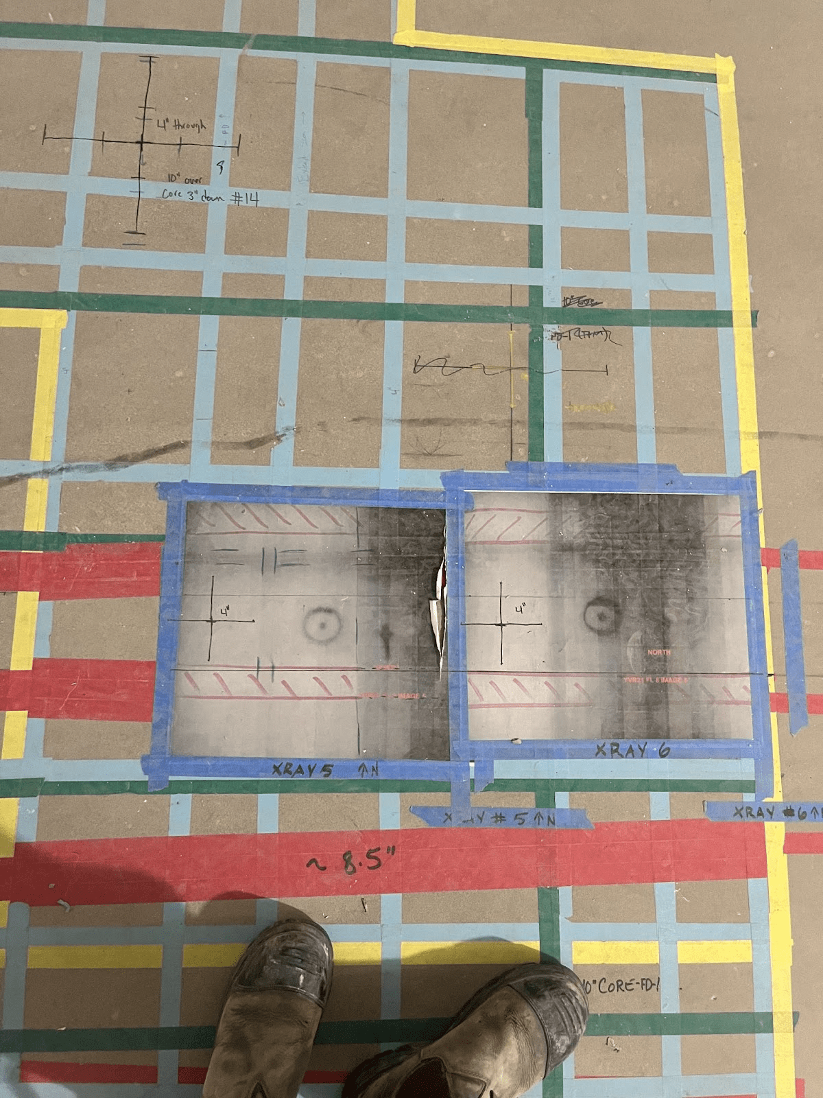
During the pre-design phase a 3D laser scan is carried out in the space, along with an Xradar™ concrete scan. From this a detailed as-built drawing is created, including the locations of all subsurface infrastructure.
2D photography and 3D data from the laser scan is stitched together to create complete, immersive 3D models. These walkthroughs can be used by architects, interior designers, engineers, and across the construction industry. In addition these models can be annotated, shared and exported to programs such as Autodesk ReCap or Revit.
Using a virtual site walkthrough
The virtual walkthrough allows for remote exploration of the space and includes an overlay of the technical drawing, the ability to measure, annotate, and explore every area of the site.
This service is popular with many of our concrete scanning clients who use it to make remote decisions following the scan of a site. In this walkthrough you can see the markings of the subsurface infrastructure that will potentially impede the design of the space. The engineer is able to make an informed decision by utilizing the walkthrough and the drawing, meaning there is no need for a site visit.
For more information on virtual construction site walkthroughs and how they can improve your pre-design process, get in touch with one of our technicians.